|
Year 2012 |
| Parameter
versus Time
|
|
Content |
.gif |
|
time intervals (sec) |
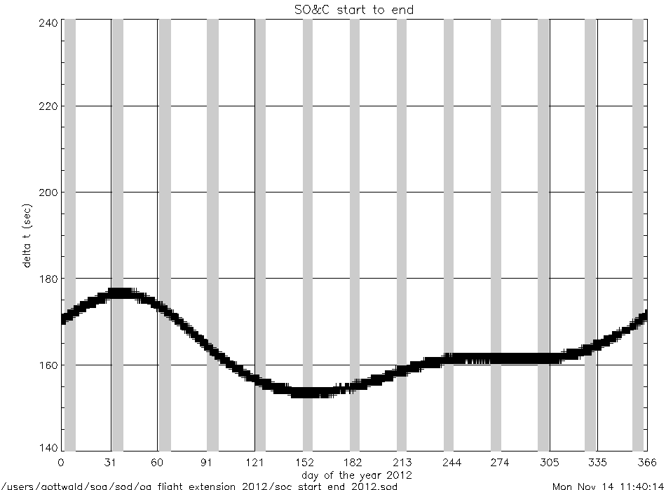
soc_start_to_end_2012.gif
|
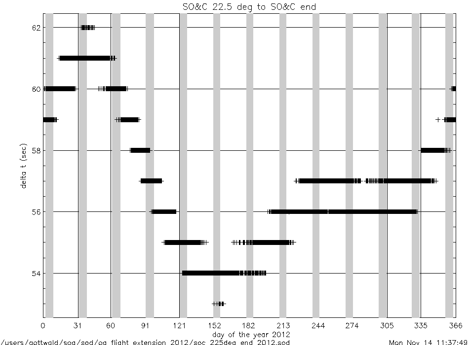
soc_225deg_to_end_2012.gif
|
|
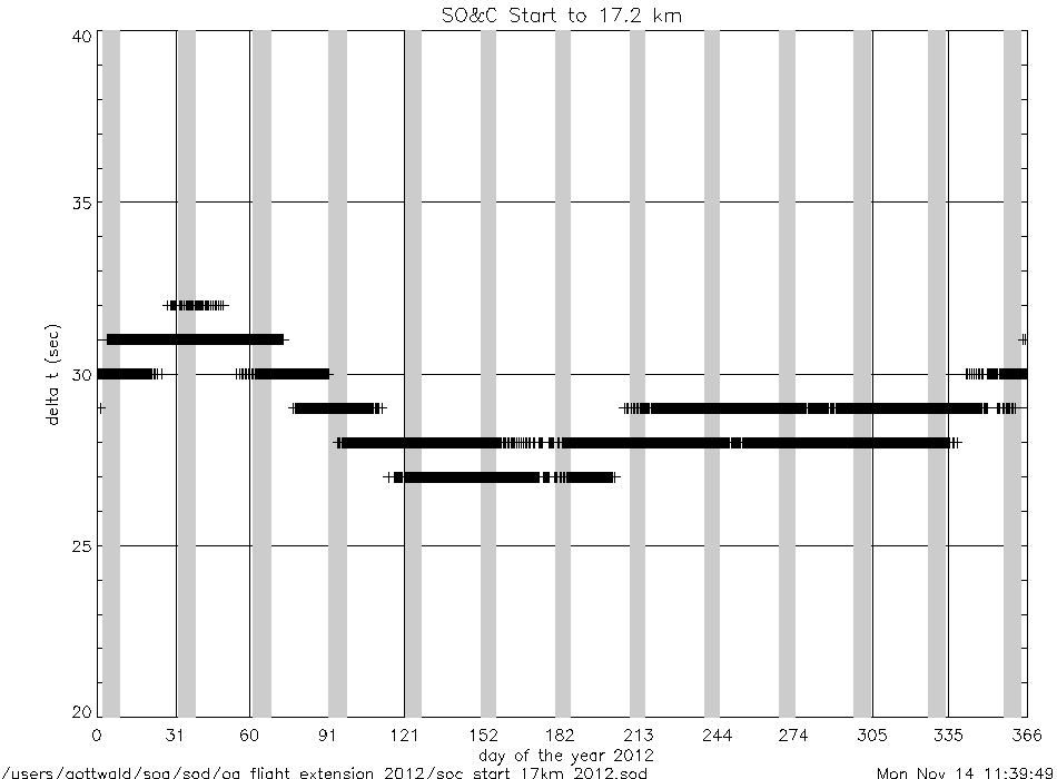
soc_start_to_17km_2012.gif
|
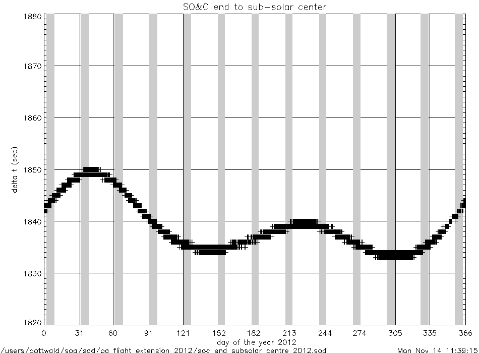
soc_end_to_subsolar_center_2012.gif
|
|
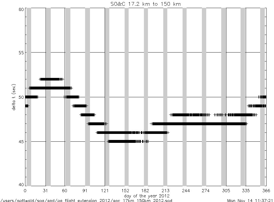
soc_17km_to_150km_2012.gif
|
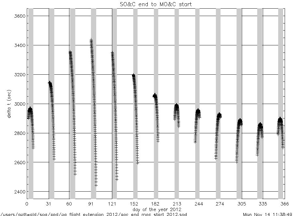
soc_end_to_moc_start_2012.gif
|
|
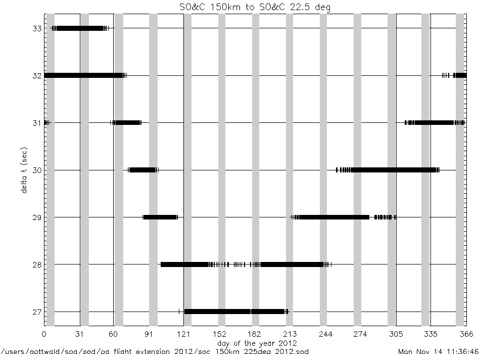
soc_150km_to_225deg_2012.gif
|
soc_end_to_eclipse_start_2012.gif
|
|
angles (deg) |
azimuth_at_soc_start_2012.gif
|
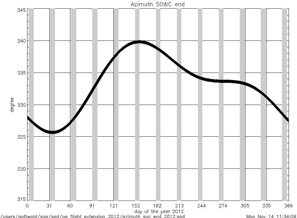
azimuth_at_soc_end_2012.gif
|
angular rates
(deg/sec) |
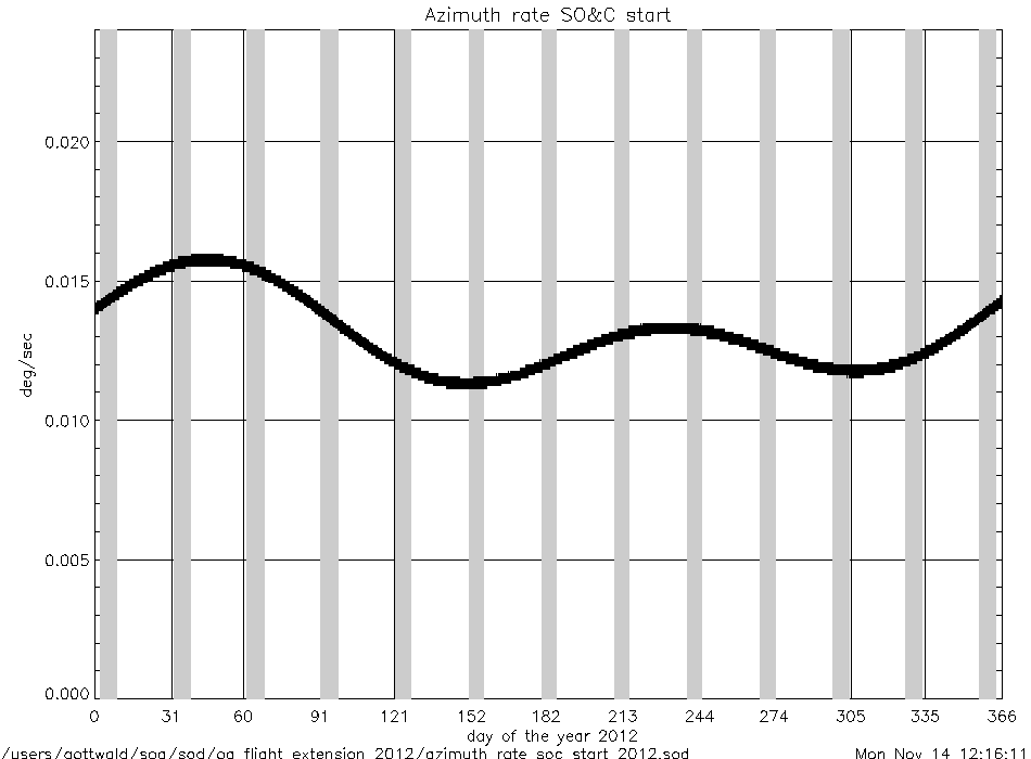
azimuth_rate_at_soc_start_2012.gif
|
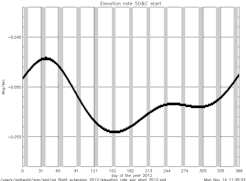
elevation_rate_at_soc_start_2012.gif
|
|
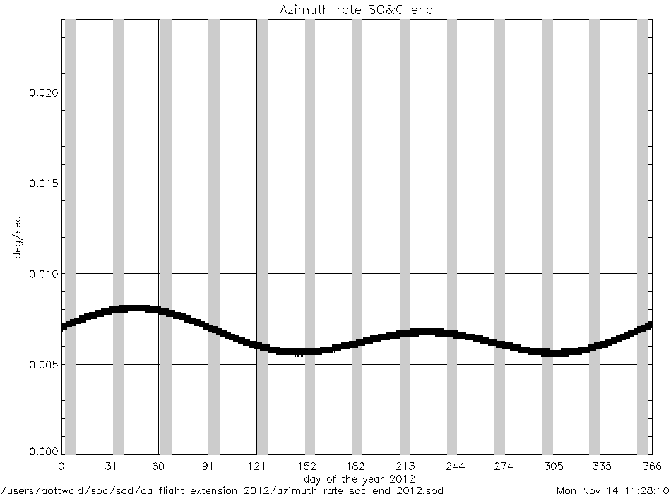
azimuth_rate_at_soc_end_2012.gif
|
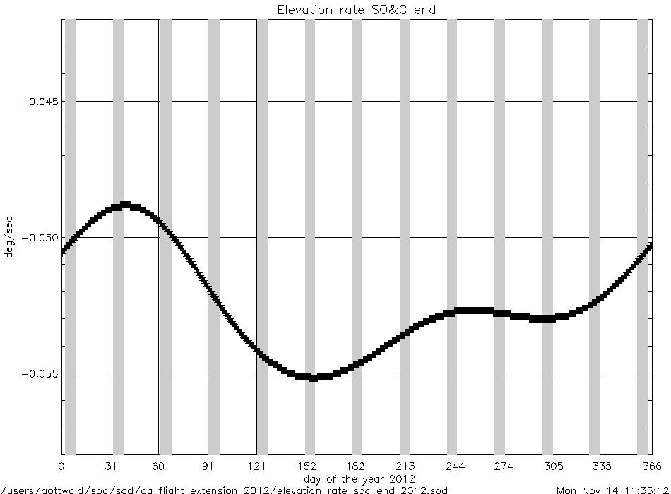
elevation_rate_at_soc_end_2012.gif
|
|
geolocation (deg) |
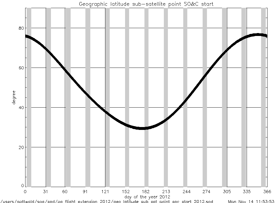
geo_latitude_at_subsatellite_point
_at_soc_start_2012.gif
|
|
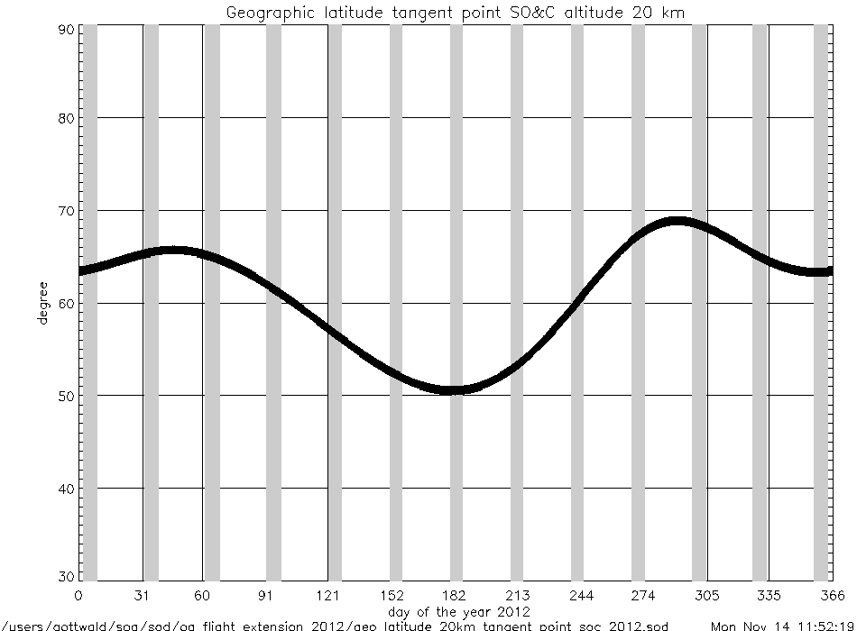
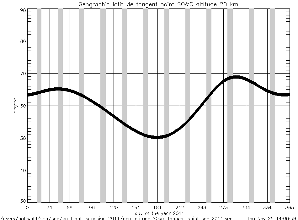
geo_latitude_at_tangent_point
_at_soc_20km_2012.gif
|
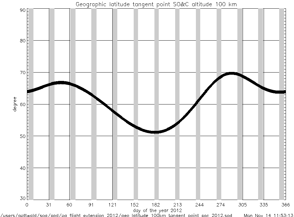
geo_latitude_at_tangent_point
_at_soc_100km_2012.gif
|
|
Geolocation (Geographic Coordinates) |
|
Content |
Text (ASCII) |
Graphic (gif) |
geolocation
(coordinates) |
geolocation_at_tangent_point
_at_soc_20km_2012.txt
|
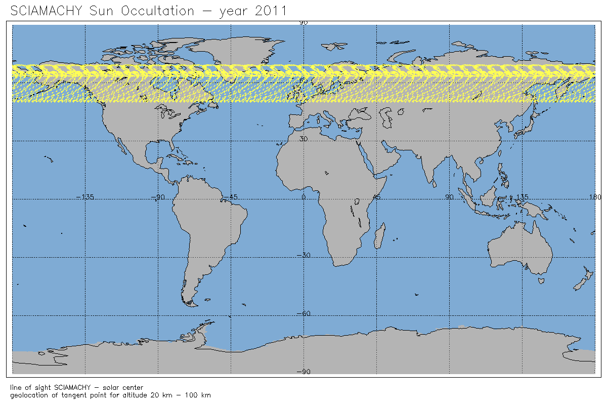
geolocation_soc_20_100_2012.gif
|
geolocation_at_tangent_point
_at_soc_100km_2012.txt
|
|
Year 2011 |
| Parameter
versus Time
|
|
Content |
.gif |
|
time intervals (sec) |
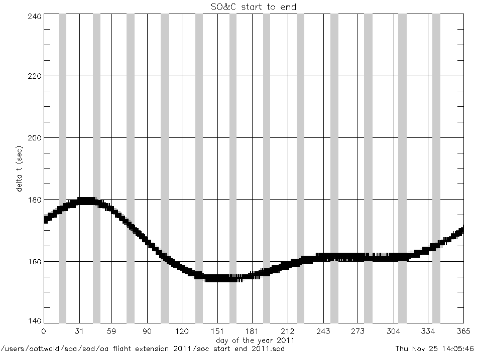
soc_start_to_end_2011.gif
|
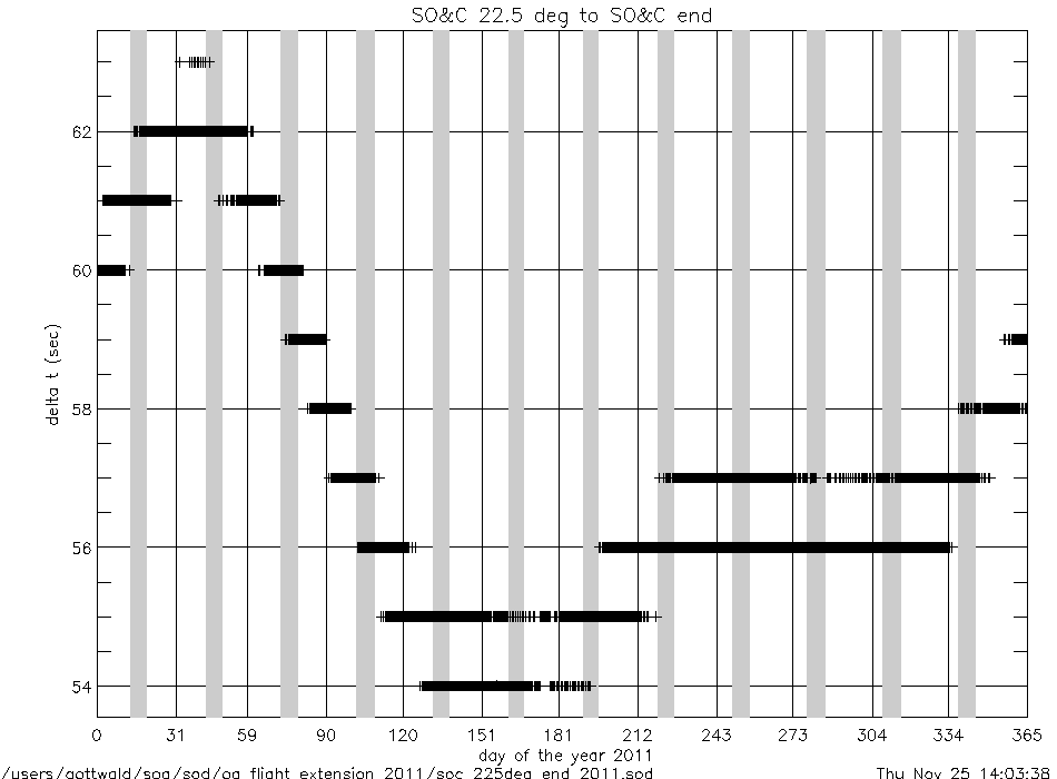
soc_225deg_to_end_2011.gif
|
|
soc_start_to_17km_2011.gif
|
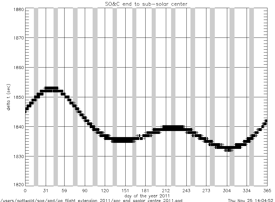
soc_end_to_subsolar_center_2011.gif
|
|
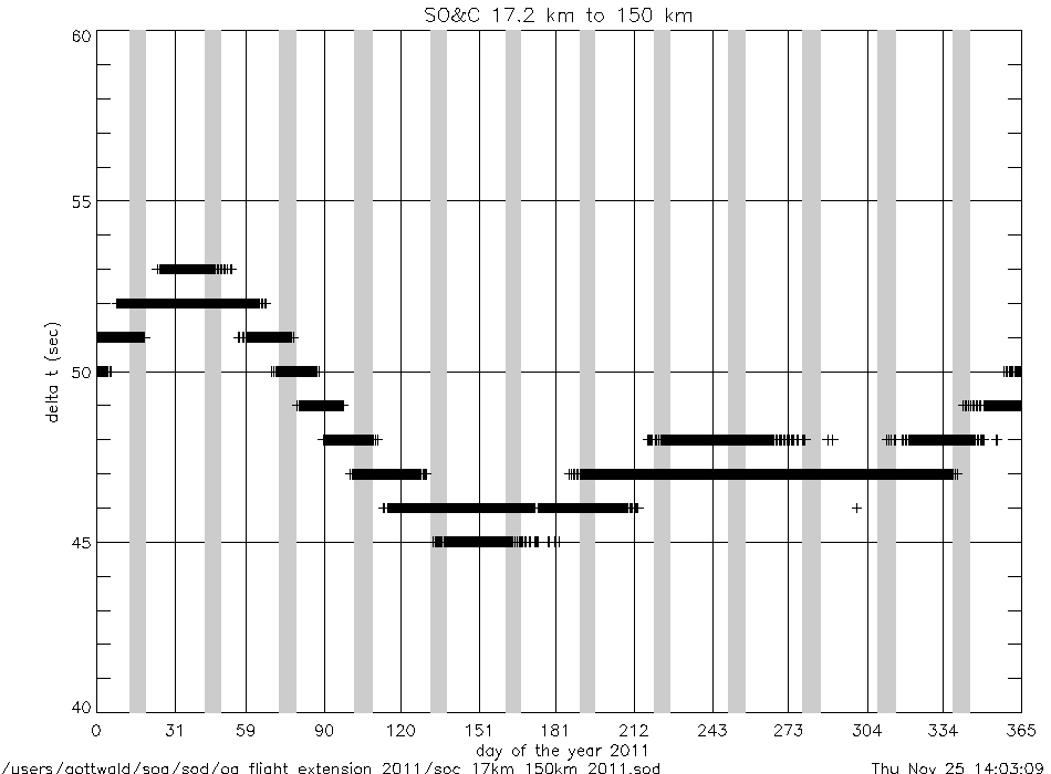
soc_17km_to_150km_2011.gif
|
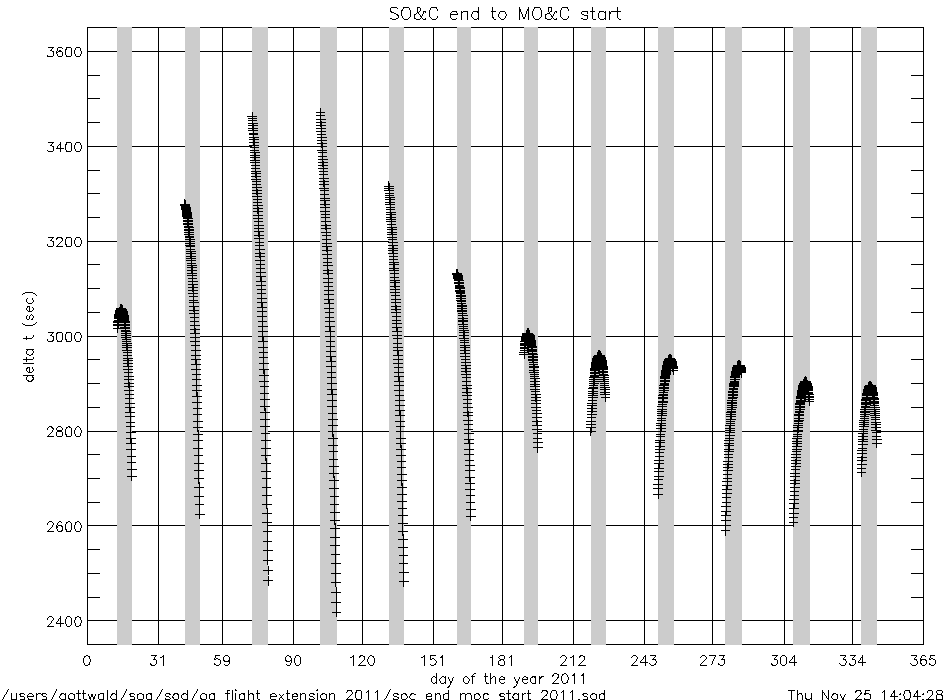
soc_end_to_moc_start_2011.gif
|
|
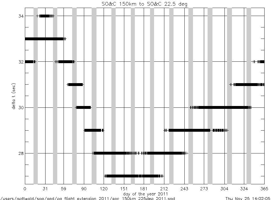
soc_150km_to_225deg_2011.gif
|
soc_end_to_eclipse_start_2011.gif
|
|
angles (deg) |
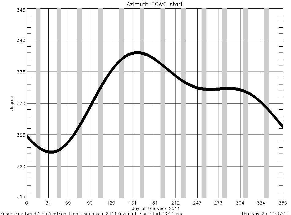
azimuth_at_soc_start_2011.gif
|
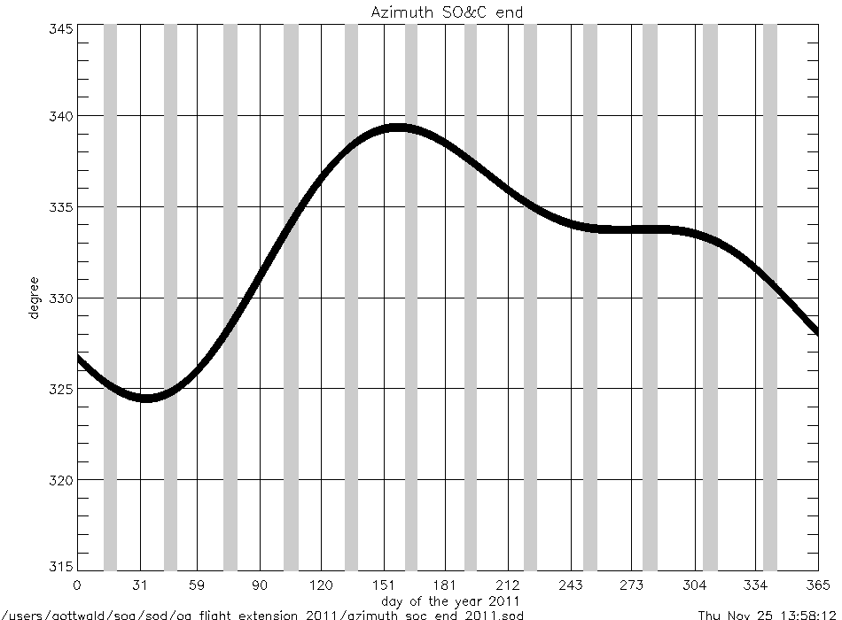
azimuth_at_soc_end_2011.gif
|
angular rates
(deg/sec) |
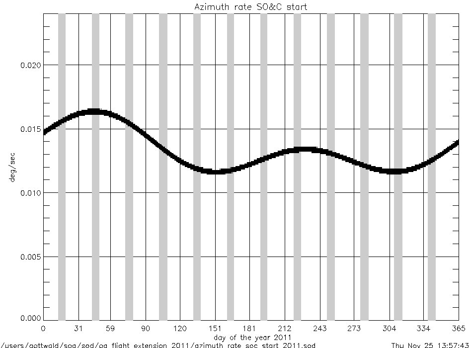
azimuth_rate_at_soc_start_2011.gif
|
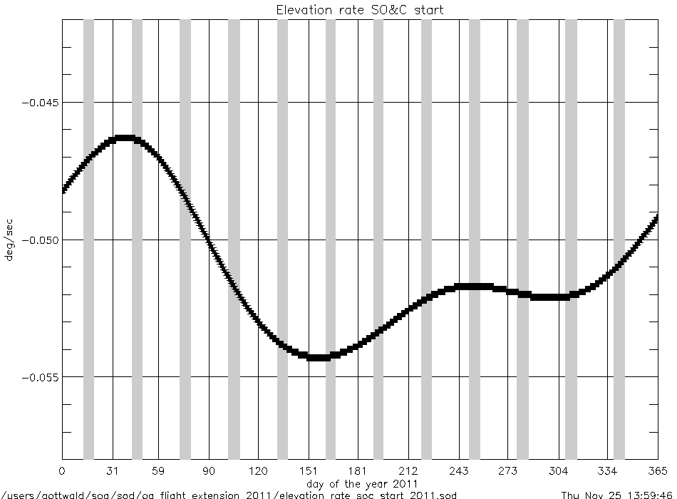
elevation_rate_at_soc_start_2011.gif
|
|
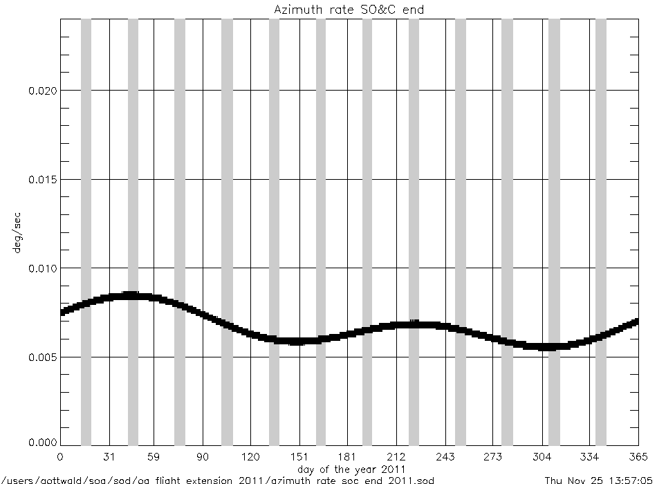
azimuth_rate_at_soc_end_2011.gif
|
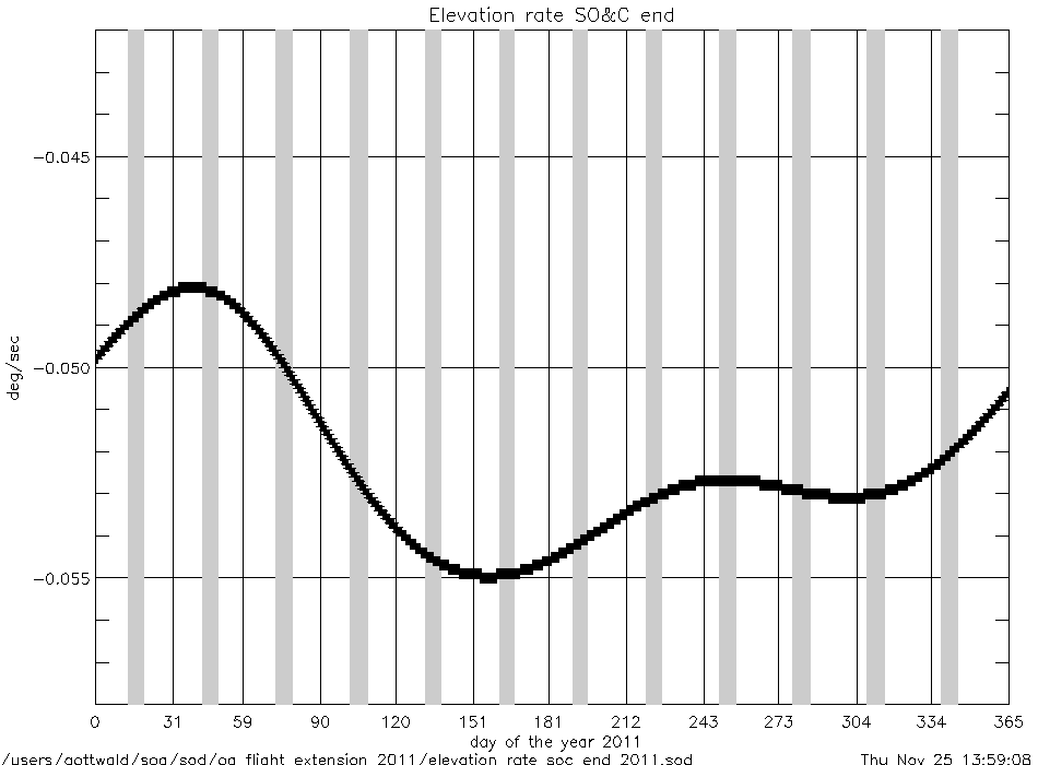
elevation_rate_at_soc_end_2011.gif
|
|
geolocation (deg) |
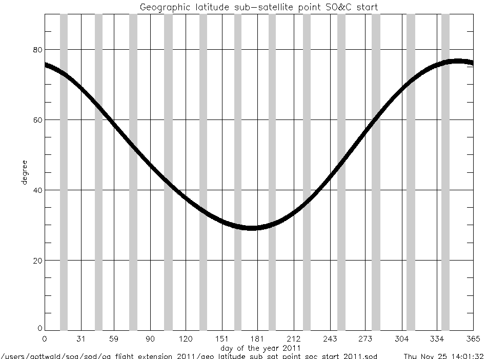
geo_latitude_at_subsatellite_point
_at_soc_start_2011.gif
|
|
geo_latitude_at_tangent_point
_at_soc_20km_2011.gif
|
geo_latitude_at_tangent_point
_at_soc_100km_2011.gif
|
|
Geolocation (Geographic Coordinates) |
|
Content |
Text (ASCII) |
Graphic (gif) |
geolocation
(coordinates) |
geolocation_at_tangent_point
_at_soc_20km_2011.txt
|
geolocation_soc_20_100_2011.gif
|
geolocation_at_tangent_point
_at_soc_100km_2011.txt
|
|
Year 2010 |
| Parameter
versus Time
|
|
Content |
.gif |
|
time intervals (sec) |
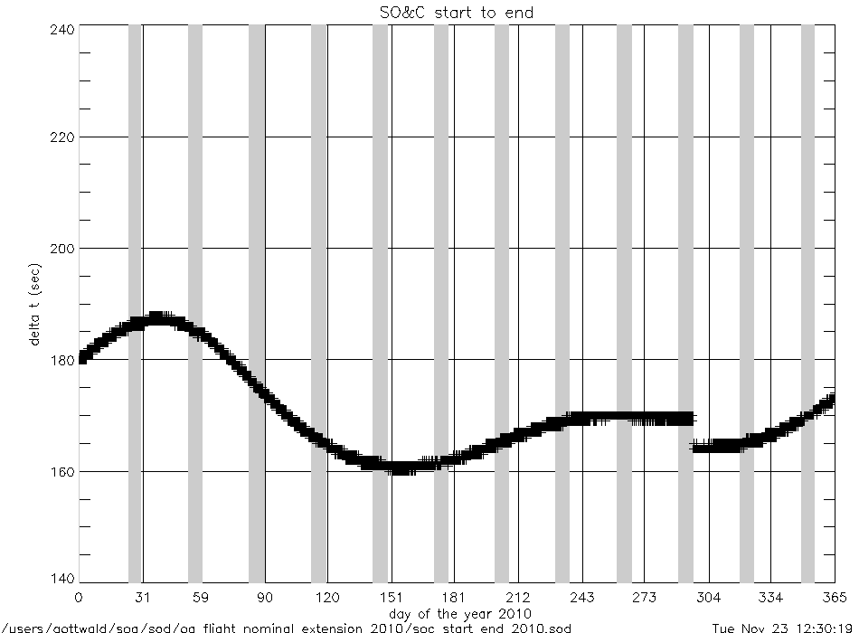
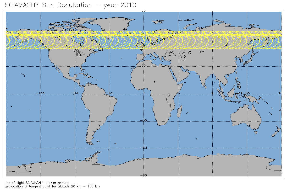
soc_start_to_end_2010.gif
|
soc_225deg_to_end_2010.gif
|
|
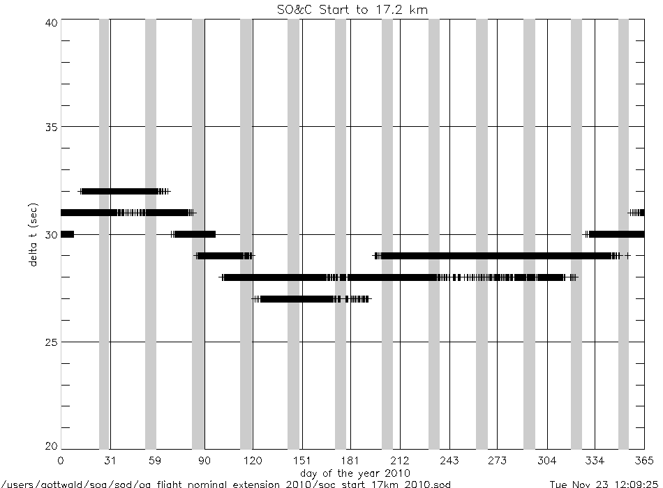
soc_start_to_17km_2010.gif
|
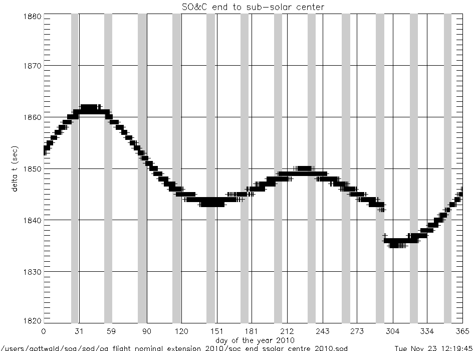
soc_end_to_subsolar_center_2010.gif
|
|
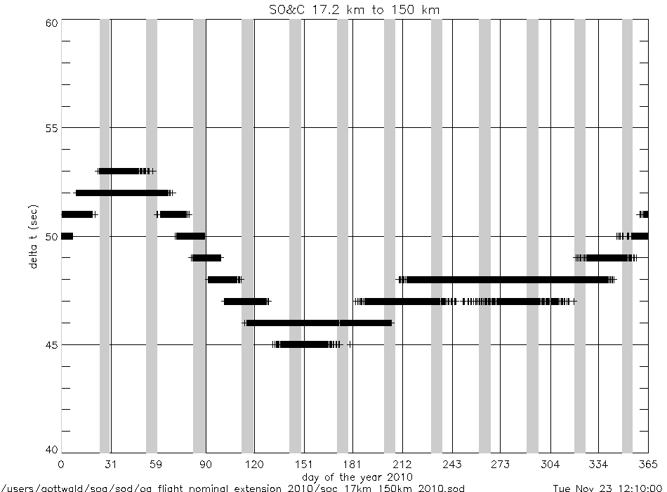
soc_17km_to_150km_2010.gif
|
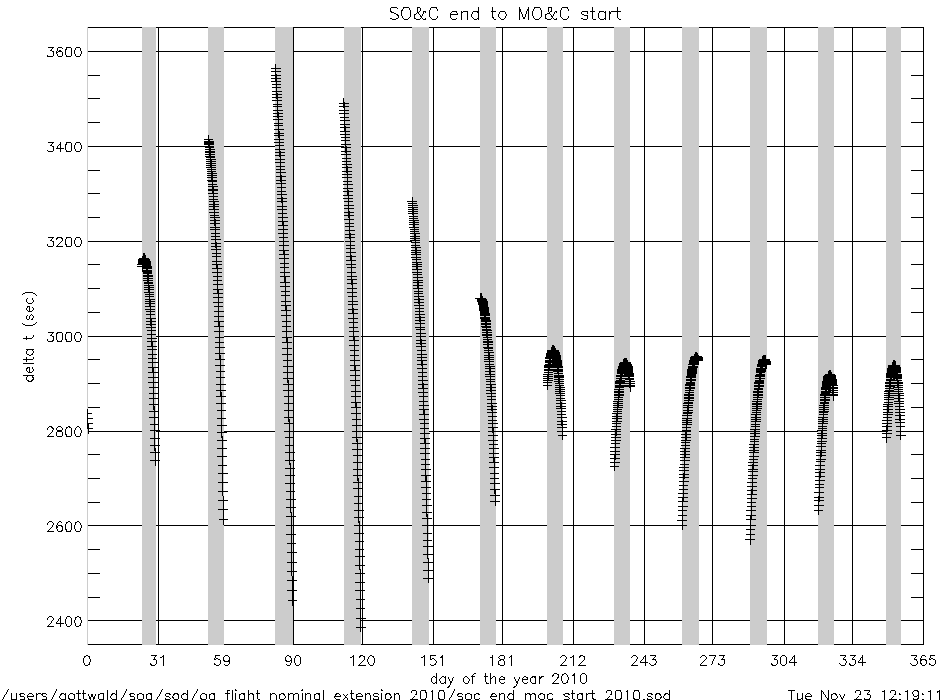
soc_end_to_moc_start_2010.gif
|
|
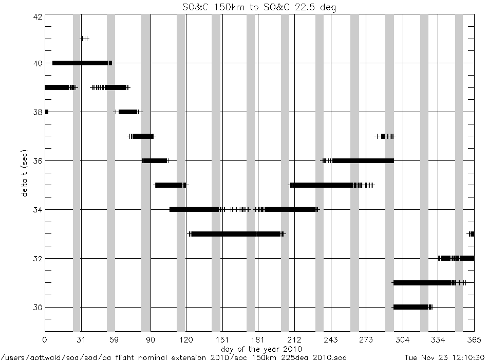
soc_150km_to_225deg_2010.gif
|
soc_end_to_eclipse_start_2010.gif
|
|
angles (deg) |
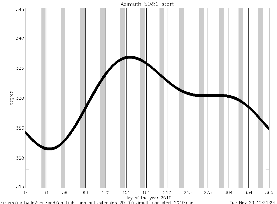
azimuth_at_soc_start_2010.gif
|
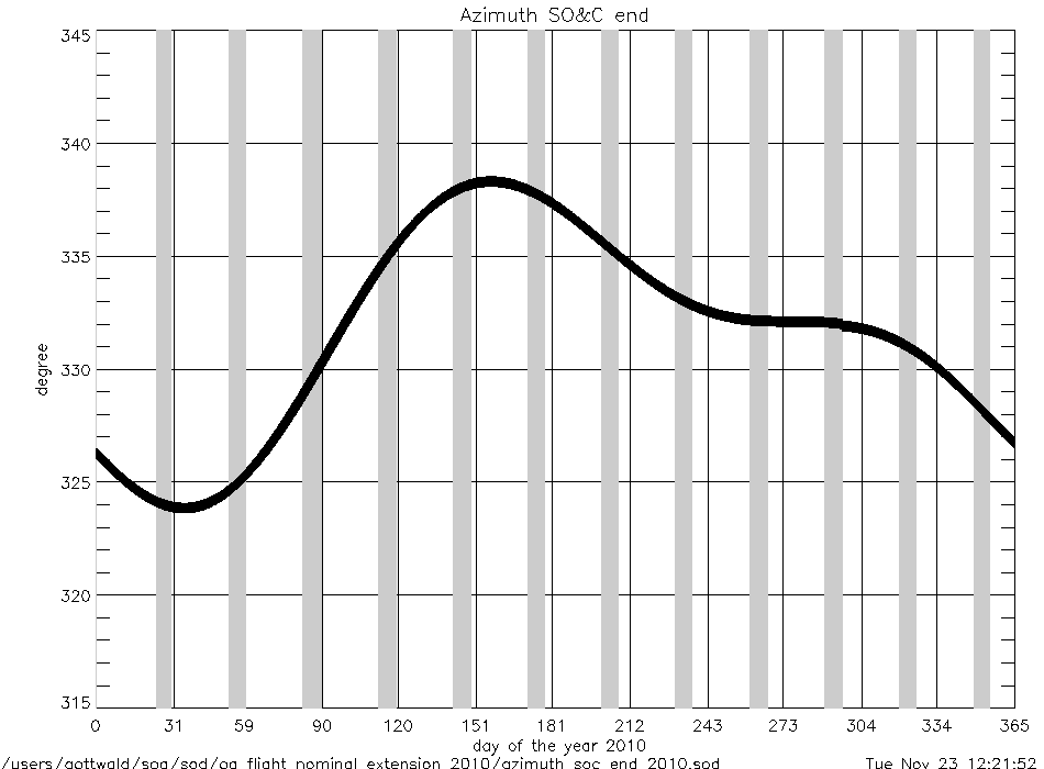
azimuth_at_soc_end_2010.gif
|
angular rates
(deg/sec) |
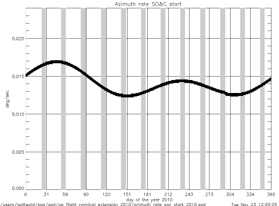
azimuth_rate_at_soc_start_2010.gif
|
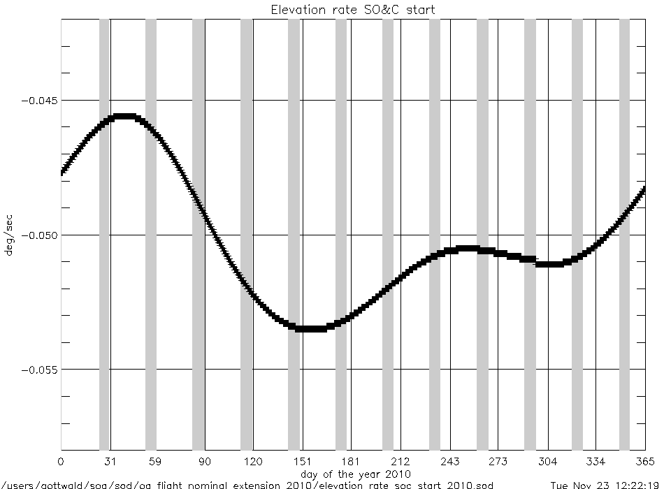
elevation_rate_at_soc_start_2010.gif
|
|
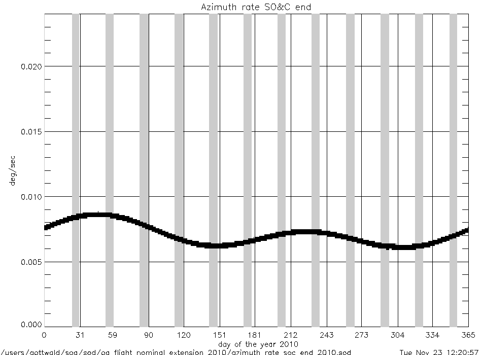
azimuth_rate_at_soc_end_2010.gif
|
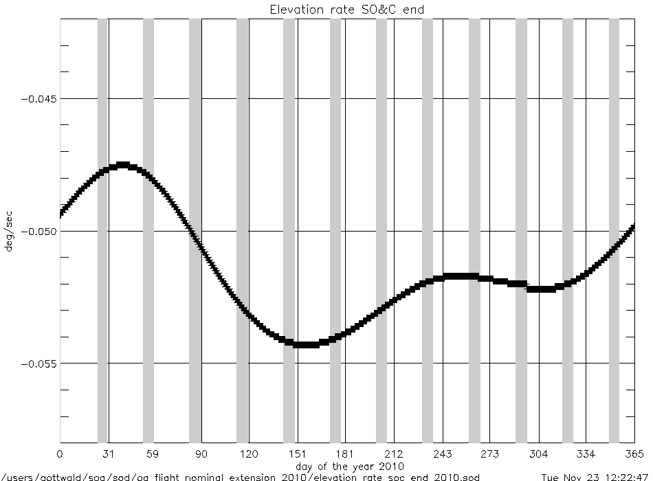
elevation_rate_at_soc_end_2010.gif
|
|
geolocation (deg) |
geo_latitude_at_subsatellite_point
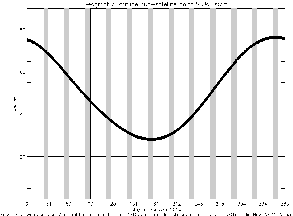
_at_soc_start_2010.gif
|
|
geo_latitude_at_tangent_point
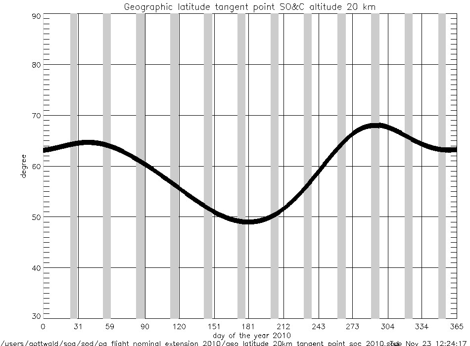
_at_soc_20km_2010.gif
|
geo_latitude_at_tangent_point
_at_soc_100km_2010.gif
|
|
Geolocation (Geographic Coordinates) |
|
Content |
Text (ASCII) |
Graphic (gif) |
geolocation
(coordinates) |
geolocation_at_tangent_point
_at_soc_20km_2010.txt
|
geolocation_soc_20_100_2010.gif
|
geolocation_at_tangent_point
_at_soc_100km_2010.txt
|
|
Year 2009 |
| Parameter
versus Time
|
|
Content |
.gif |
|
time intervals (sec) |
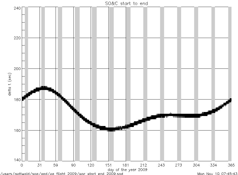
soc_start_to_end_2009.gif
|
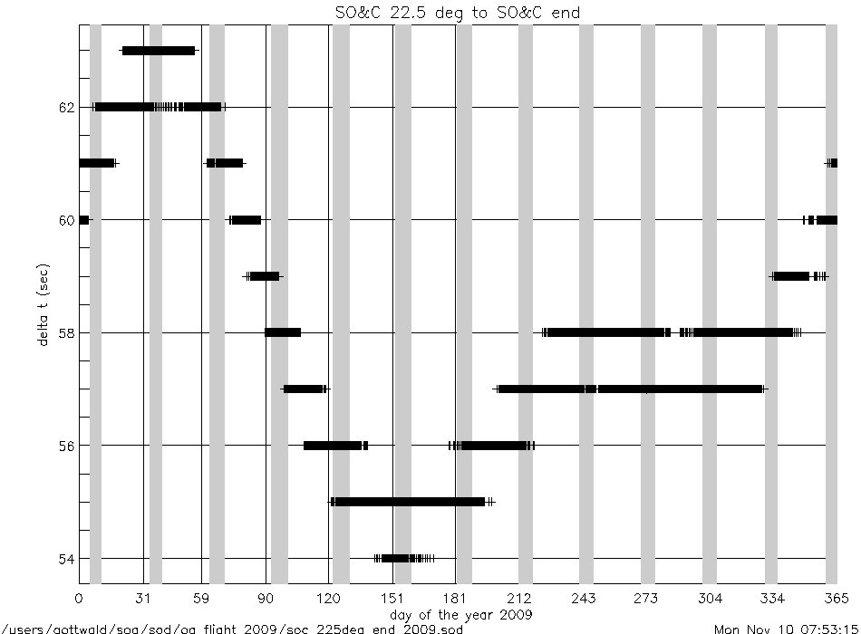
soc_225deg_to_end_2009.gif
|
|
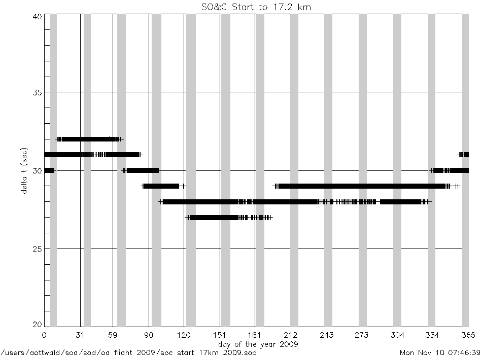
soc_start_to_17km_2009.gif
|
soc_end_to_subsolar_center_2009.gif
|
|
soc_17km_to_150km_2009.gif
|
soc_end_to_moc_start_2009.gif
|
|
soc_150km_to_225deg_2009.gif
|
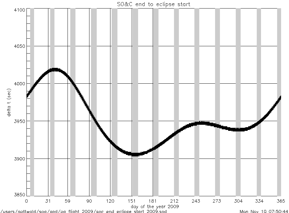
soc_end_to_eclipse_start_2009.gif
|
|
angles (deg) |
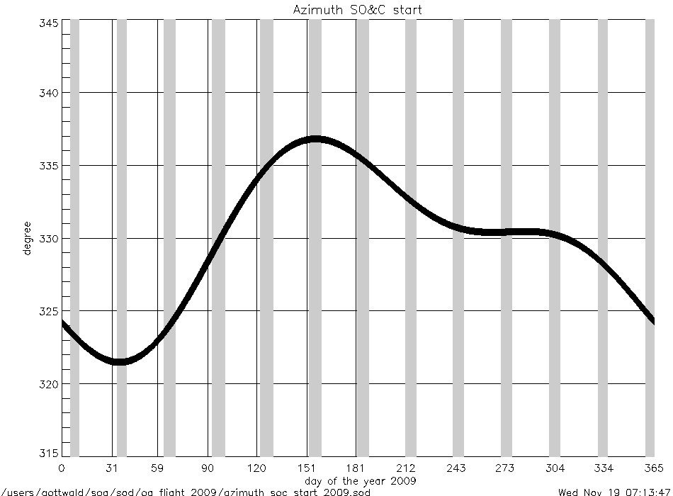
azimuth_at_soc_start_2009.gif
|
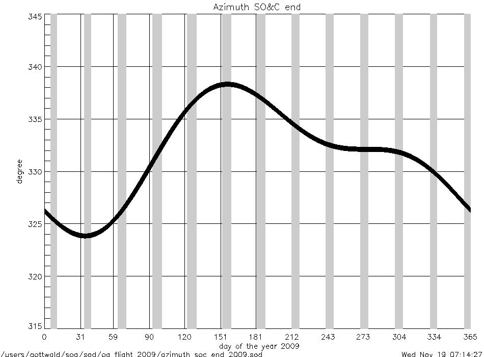
azimuth_at_soc_end_2009.gif
|
angular rates
(deg/sec) |
azimuth_rate_at_soc_start_2009.gif
|
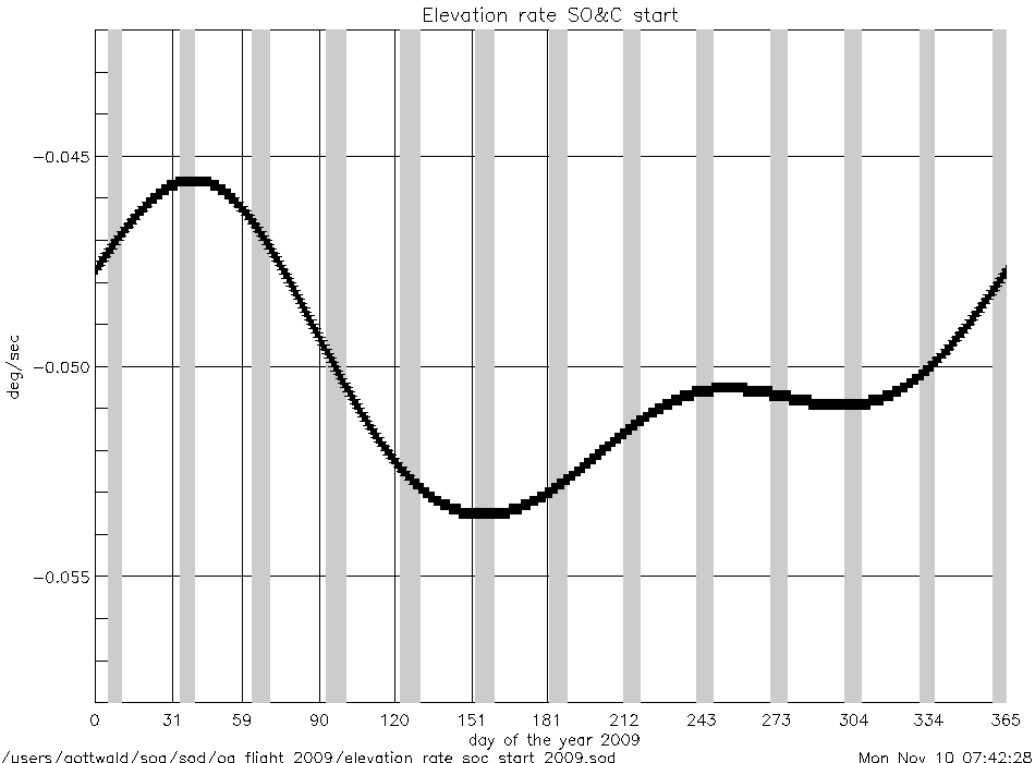
elevation_rate_at_soc_start_2009.gif
|
|
azimuth_rate_at_soc_end_2009.gif
|
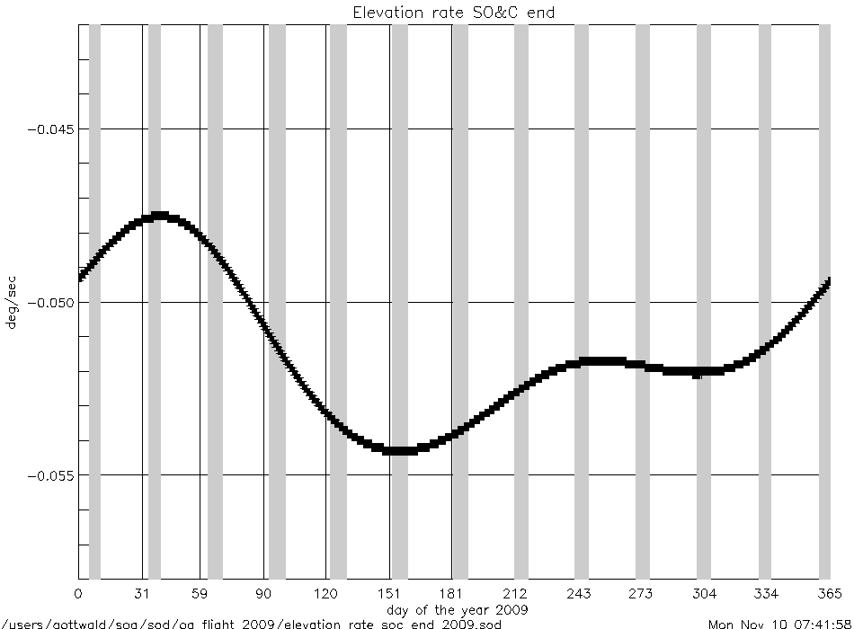
elevation_rate_at_soc_end_2009.gif
|
|
geolocation (deg) |
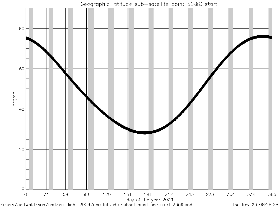
geo_latitude_at_subsatellite_point
_at_soc_start_2009.gif
|
|
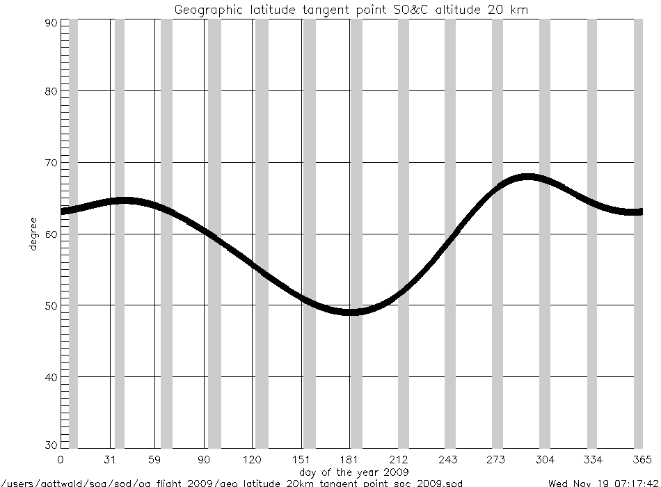
geo_latitude_at_tangent_point
_at_soc_20km_2009.gif
|
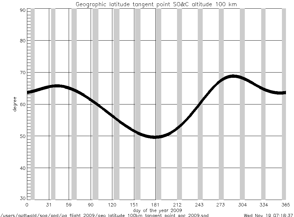
geo_latitude_at_tangent_point
_at_soc_100km_2009.gif
|
|
Geolocation (Geographic Coordinates) |
|
Content |
Text (ASCII) |
Graphic (gif) |
geolocation
(coordinates) |
geolocation_at_tangent_point
_at_soc_20km_2009.txt
|
geolocation_soc_20_100_2009.gif
|
geolocation_at_tangent_point
_at_soc_100km_2009.txt
|
|
Year 2008 |
| Parameter
versus Time
|
|
Content |
.gif |
|
time intervals (sec) |
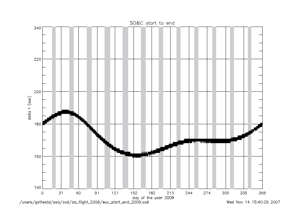
soc_start_to_end_2008.gif
|
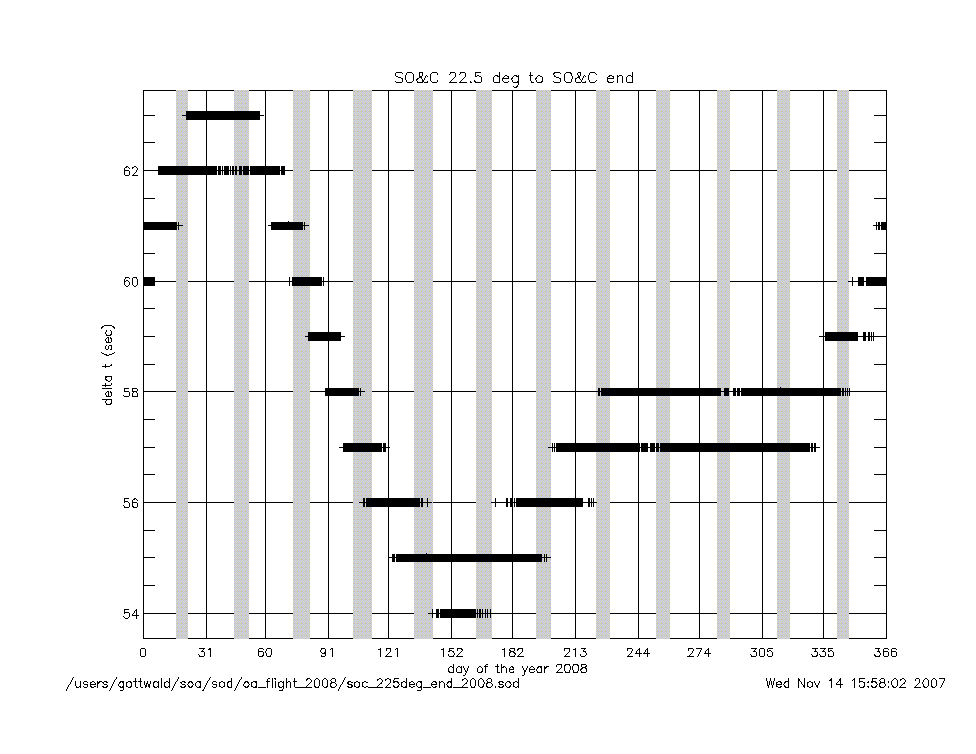
soc_225deg_to_end_2008.gif
|
|
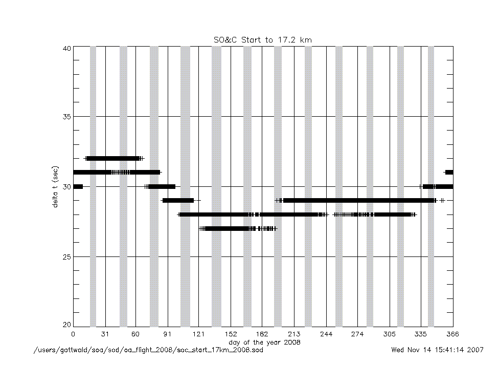
soc_start_to_17km_2008.gif
|
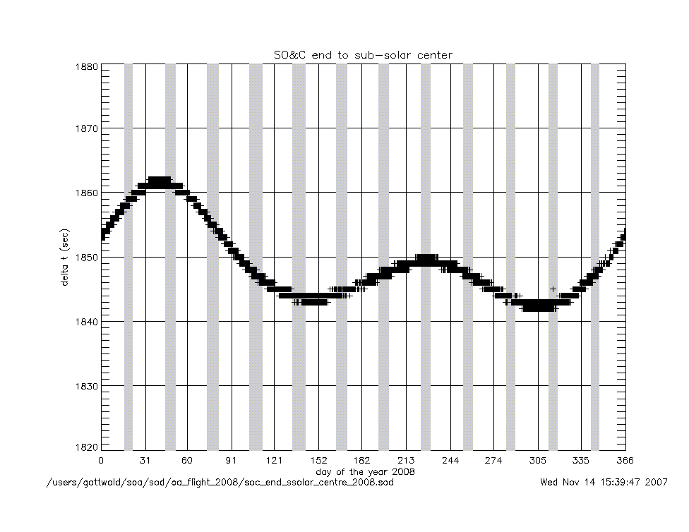
soc_end_to_subsolar_center_2008.gif
|
|
soc_17km_to_150km_2008.gif
|
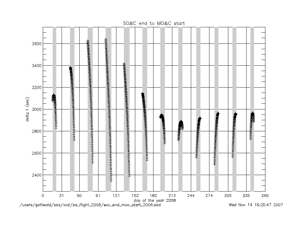
soc_end_to_moc_start_2008.gif
|
|
soc_150km_to_225deg_2008.gif
|
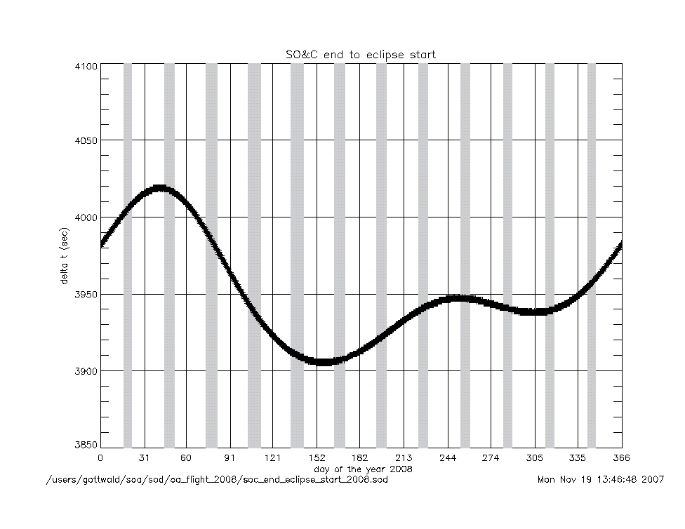
soc_end_to_eclipse_start_2008.gif
|
|
angles (deg) |
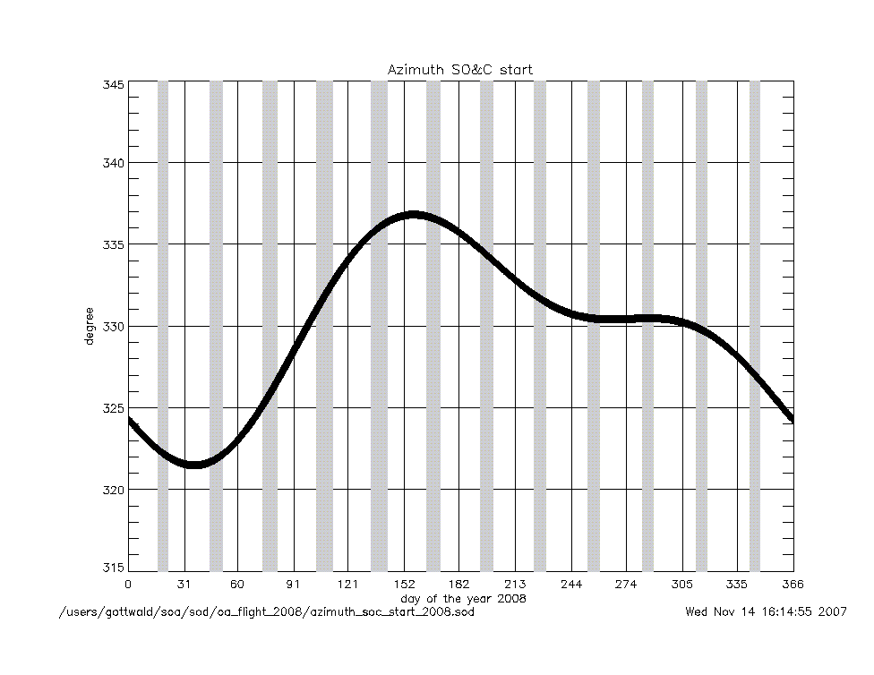
azimuth_at_soc_start_2008.gif
|
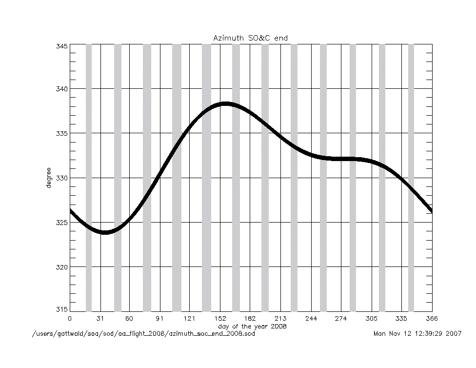
azimuth_at_soc_end_2008.gif
|
angular rates
(deg/sec) |
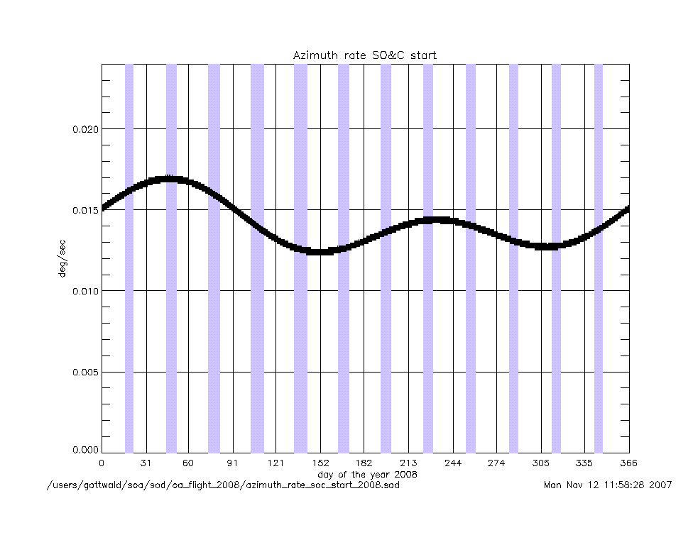
azimuth_rate_at_soc_start_2008.gif
|
elevation_rate_at_soc_start_2008.gif
|
|
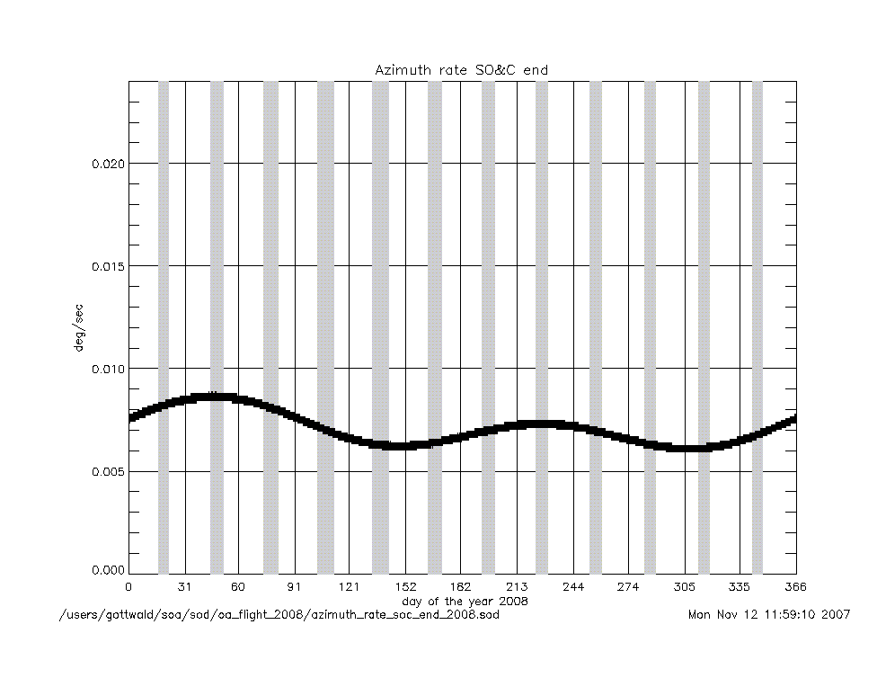
azimuth_rate_at_soc_end_2008.gif
|
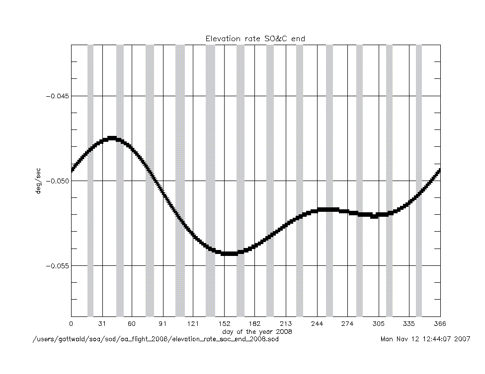
elevation_rate_at_soc_end_2008.gif
|
|
geolocation (deg) |
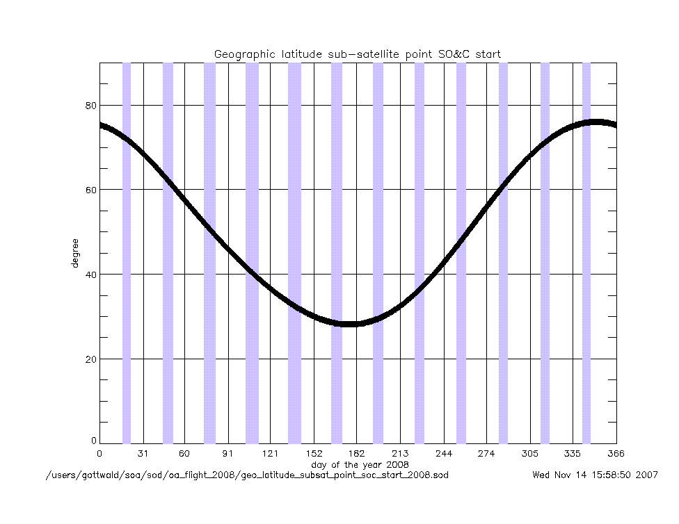
geo_latitude_at_subsatellite_point
_at_soc_start_2008.gif
|
|
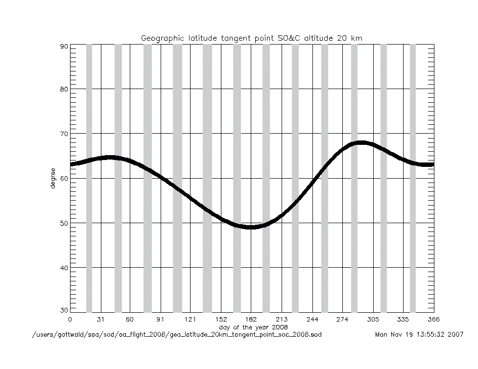
geo_latitude_at_tangent_point
_at_soc_20km_2008.gif
|
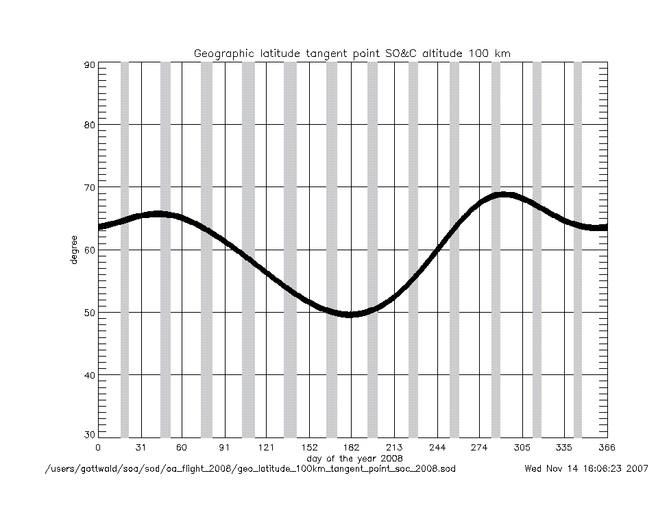
geo_latitude_at_tangent_point
_at_soc_100km_2008.gif
|
|
Geolocation (Geographic Coordinates) |
|
Content |
Text (ASCII) |
Graphic (gif) |
geolocation
(coordinates) |
geolocation_at_tangent_point
_at_soc_20km_2008.txt
|
geolocation_soc_20_100_2008.gif
|
geolocation_at_tangent_point
_at_soc_100km_2008.txt
|
|
Year 2007 |
| Parameter
versus Time
|
|
Content |
.gif |
|
time intervals (sec) |
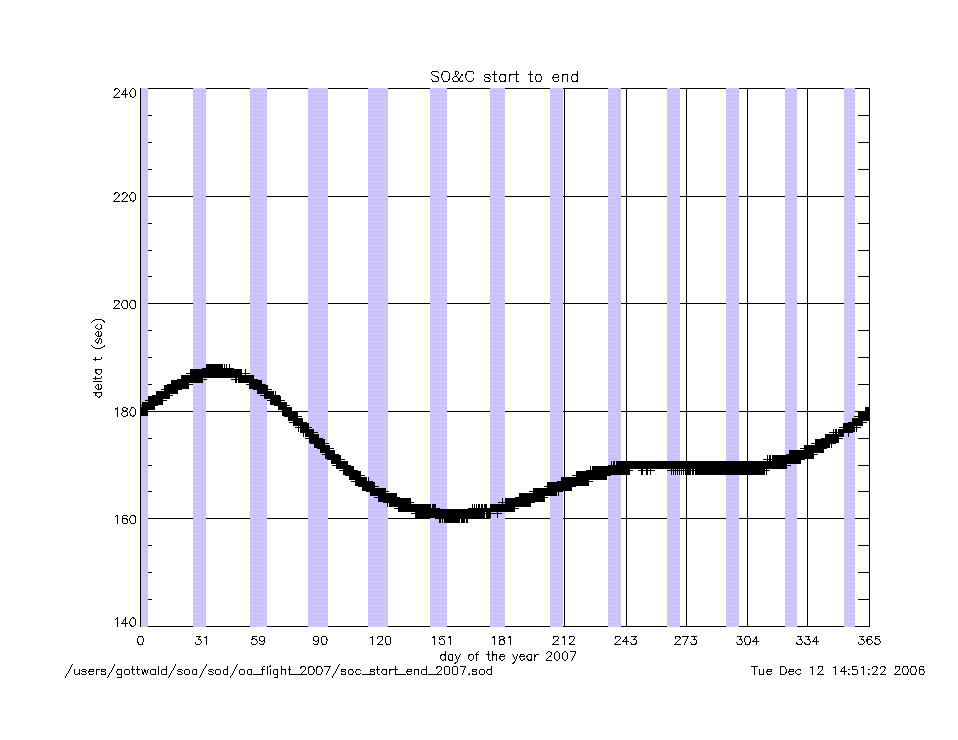
soc_start_to_end_2007.gif
|
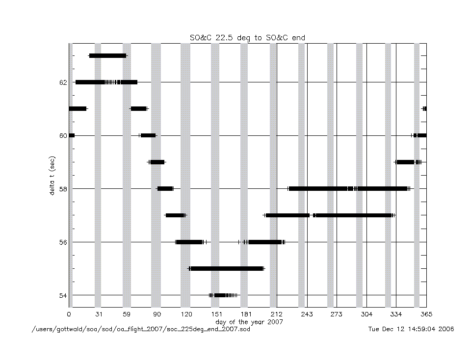
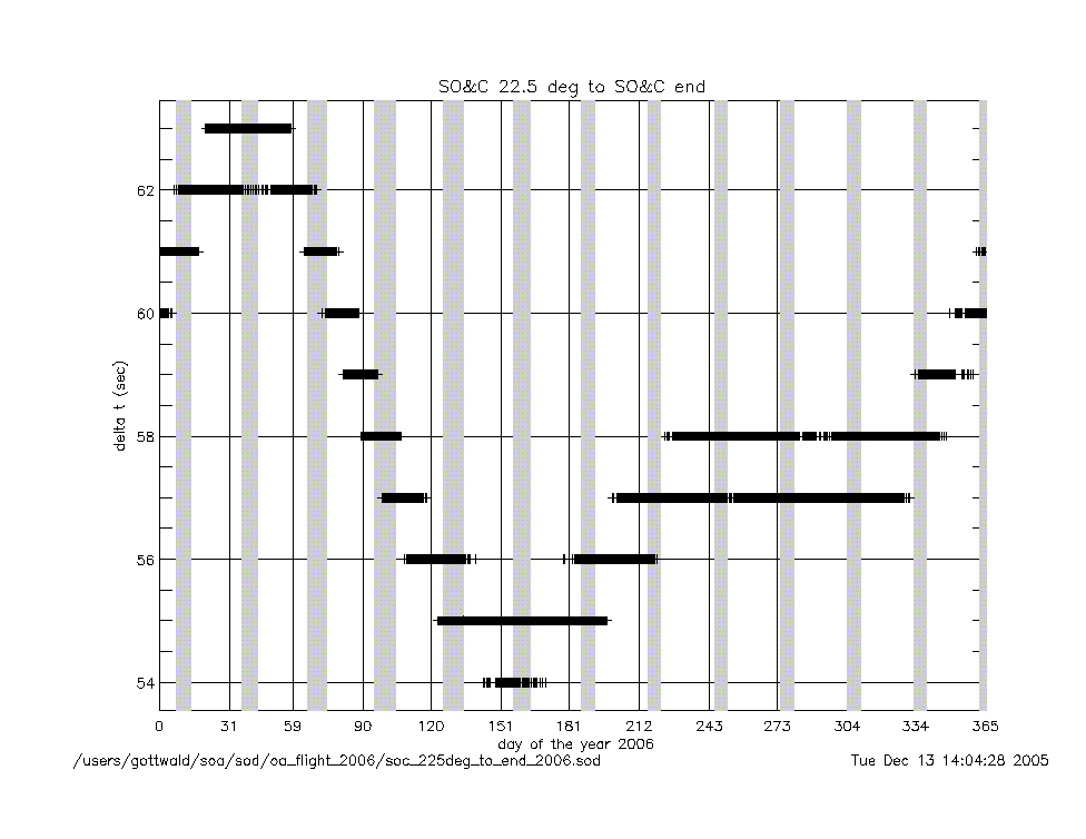
soc_225deg_to_end_2007.gif
|
|
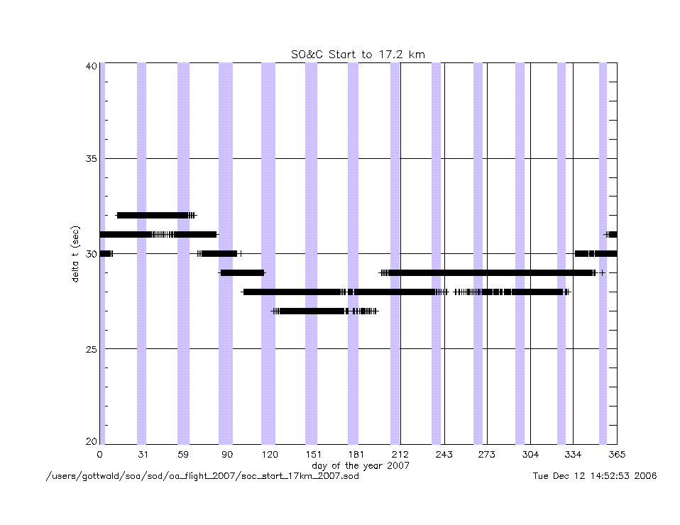
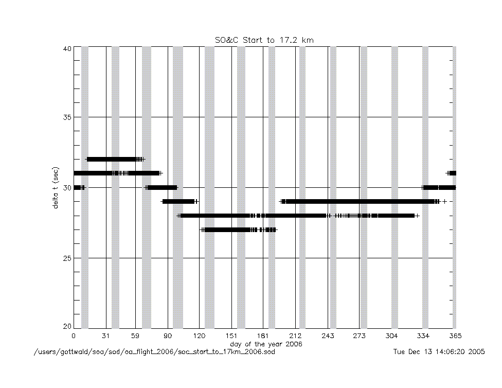
soc_start_to_17km_2007.gif
|
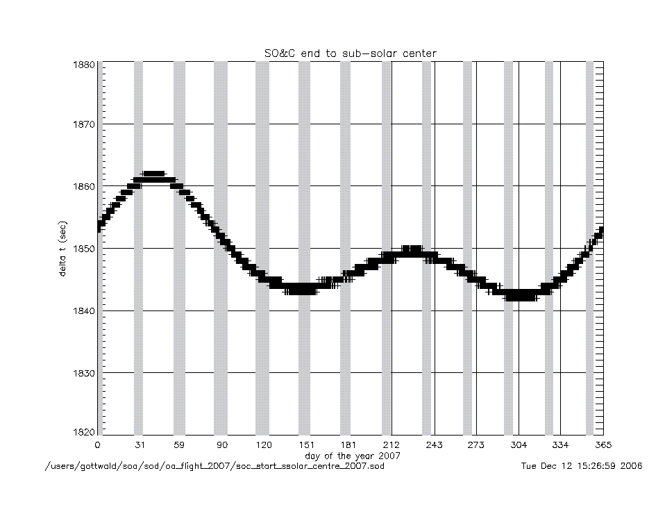
soc_end_to_subsolar_center_2007.gif
|
|
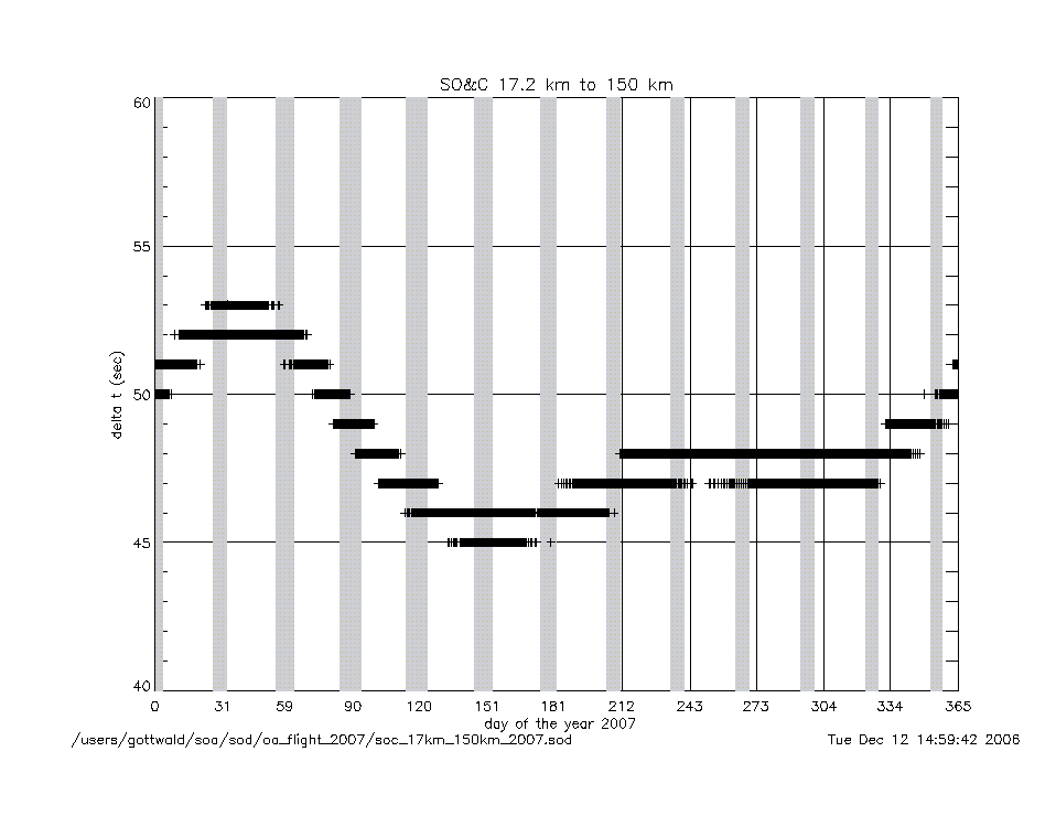
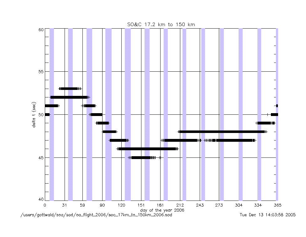
soc_17km_to_150km_2007.gif
|
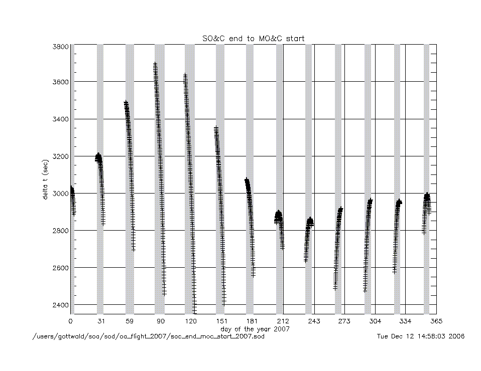
soc_end_to_moc_start_2007.gif
|
|
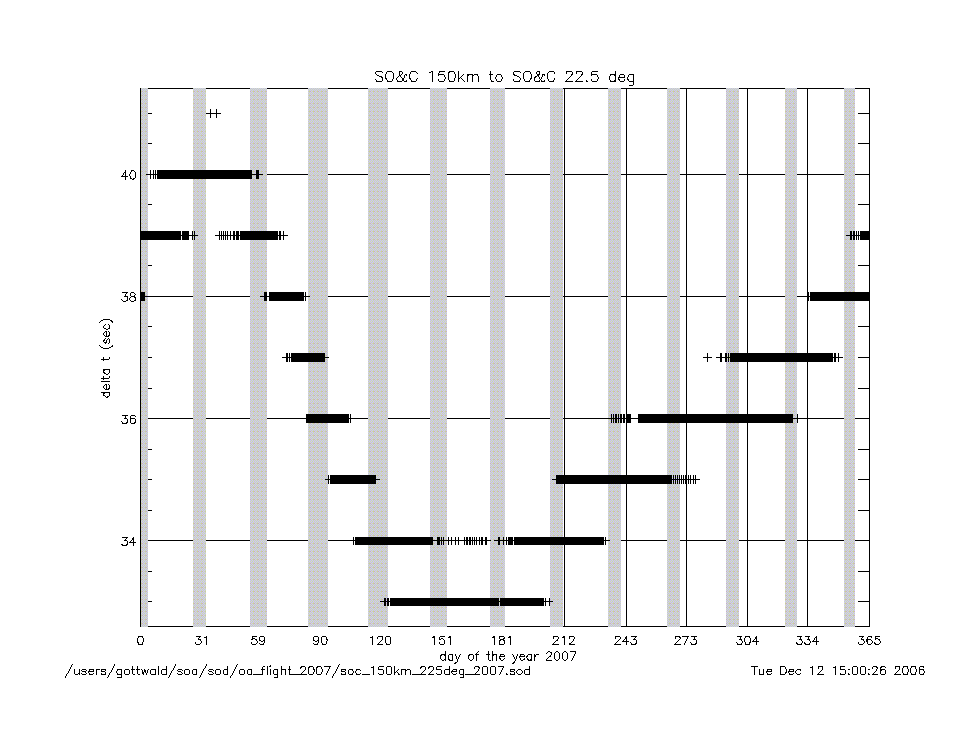
soc_150km_to_225deg_2007.gif
|
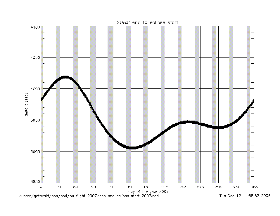
soc_end_to_eclipse_start_2007.gif
|
|
angles (deg) |
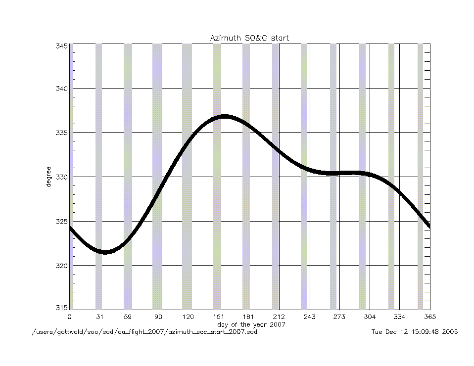
azimuth_at_soc_start_2007.gif
|
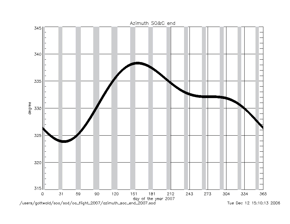
azimuth_at_soc_end_2007.gif
|
angular rates
(deg/sec) |
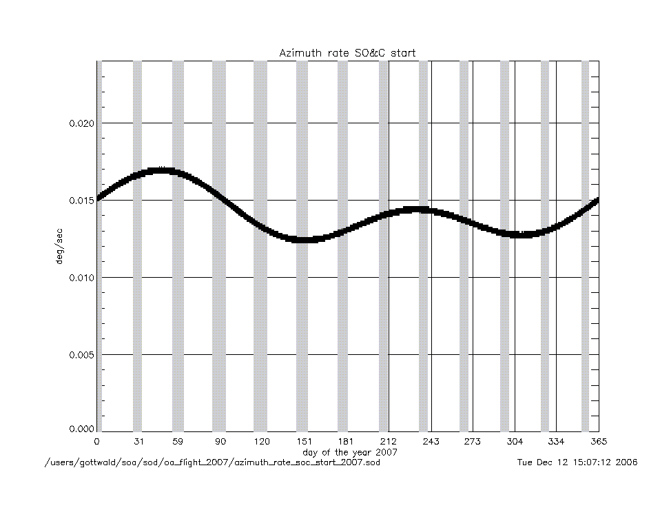
azimuth_rate_at_soc_start_2007.gif
|
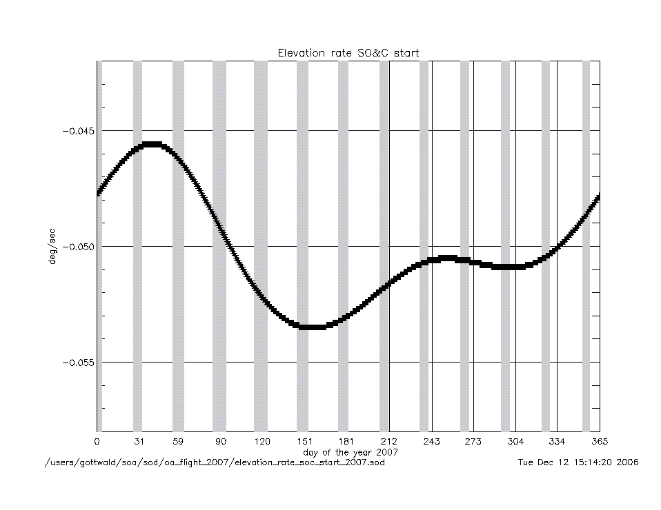
elevation_rate_at_soc_start_2007.gif
|
|
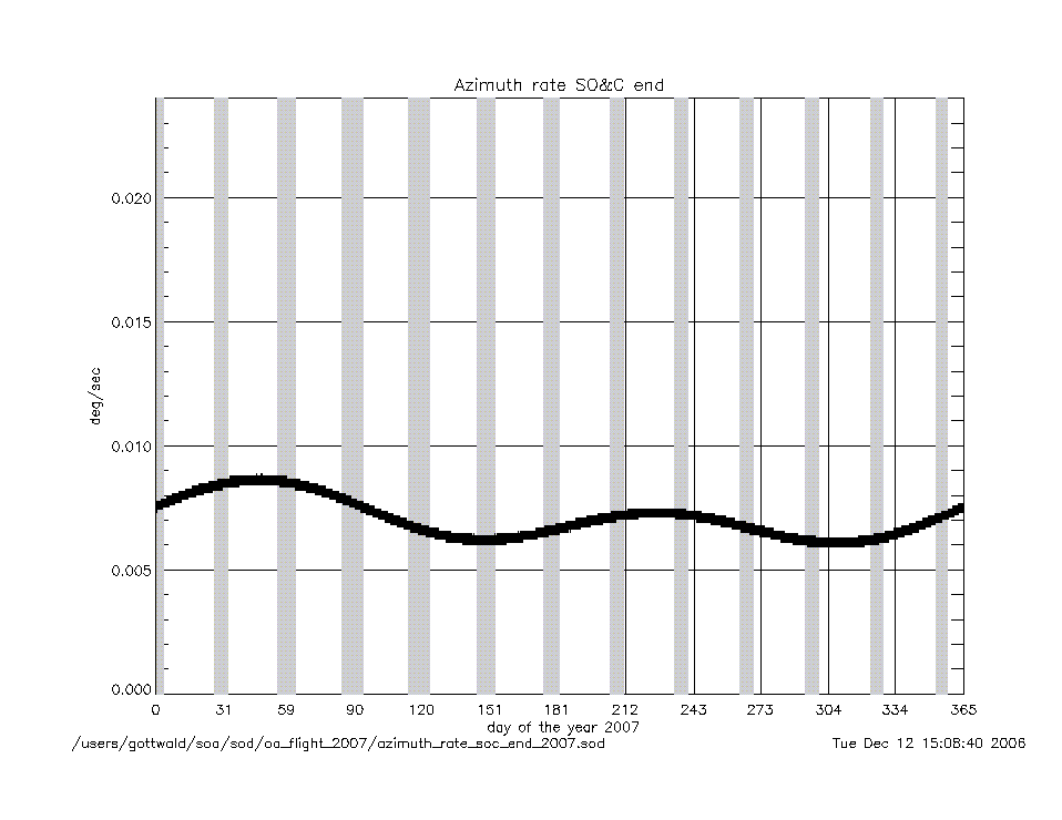
azimuth_rate_at_soc_end_2007.gif
|
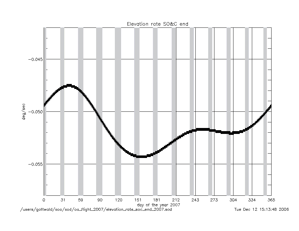
elevation_rate_at_soc_end_2007.gif
|
|
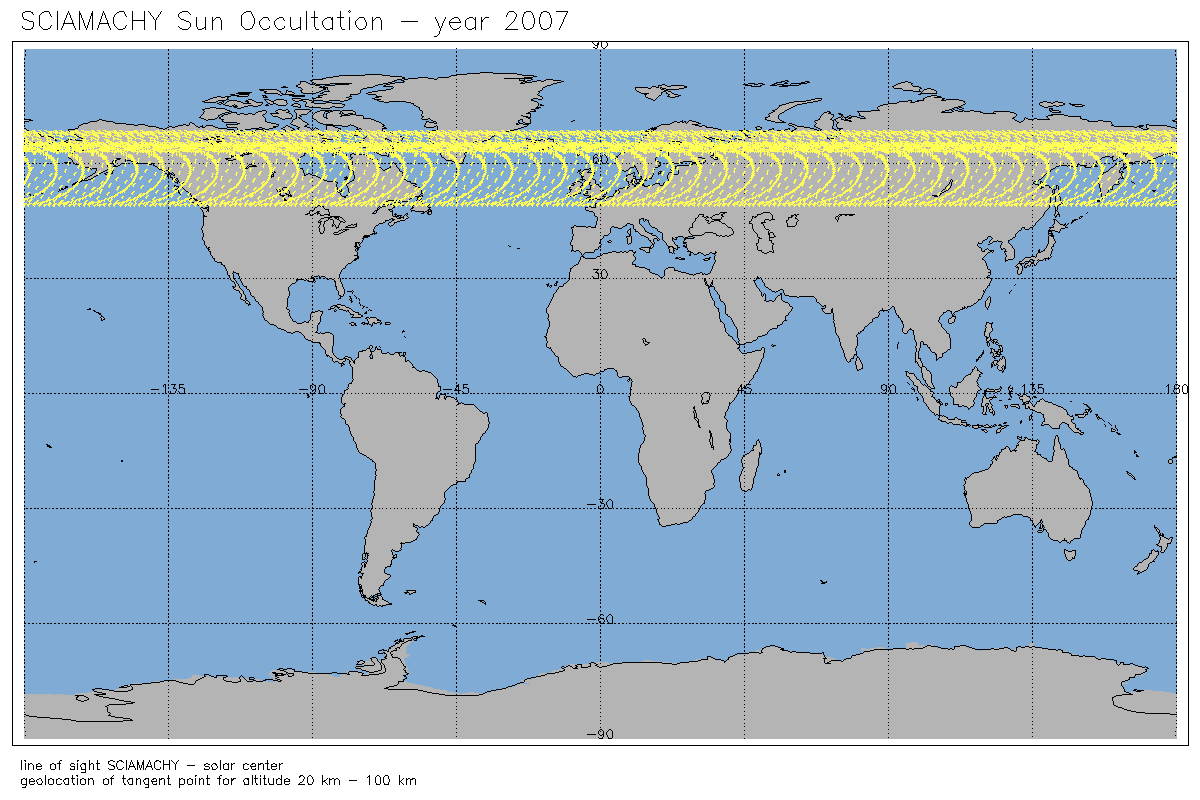
geolocation (deg) |
geo_latitude_at_subsatellite_point
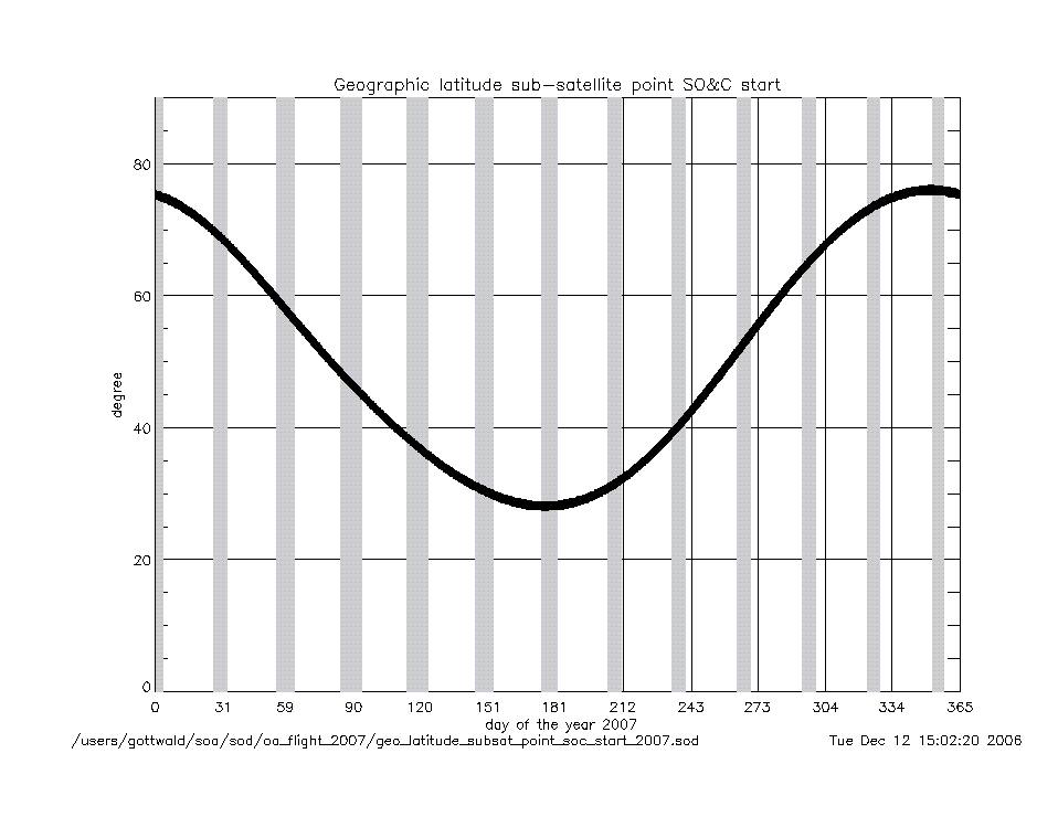
_at_soc_start_2007.gif
|
|
geo_latitude_at_tangent_point
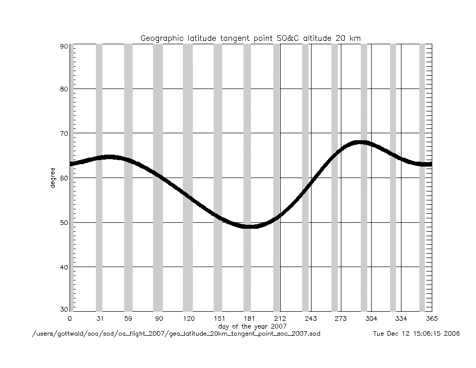
_at_soc_20km_2007.gif
|
geo_latitude_at_tangent_point
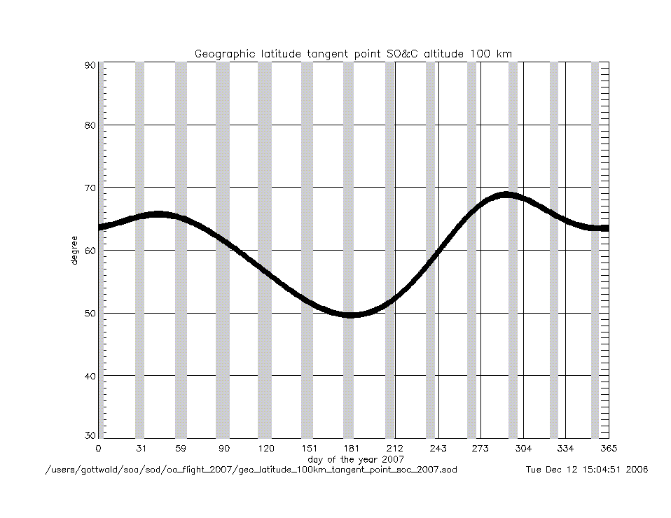
_at_soc_100km_2007.gif
|
|
Geolocation (Geographic Coordinates) |
|
Content |
Text (ASCII) |
Graphic (gif) |
geolocation
(coordinates) |
geolocation_at_tangent_point
_at_soc_20km_2007.txt
|
geolocation_soc_20_100_2007.gif
|
geolocation_at_tangent_point
_at_soc_100km_2007.txt
|
|
Year 2006 |
| Parameter
versus Time
|
|
Content |
.gif |
|
time intervals (sec) |
soc_start_to_end_2006.gif
|
soc_225deg_to_end_2006.gif
|
|
soc_start_to_17km_2006.gif
|
soc_end_to_subsolar_center_2006.gif
|
|
soc_17km_to_150km_2006.gif
|
soc_end_to_moc_start_2006.gif
|
|
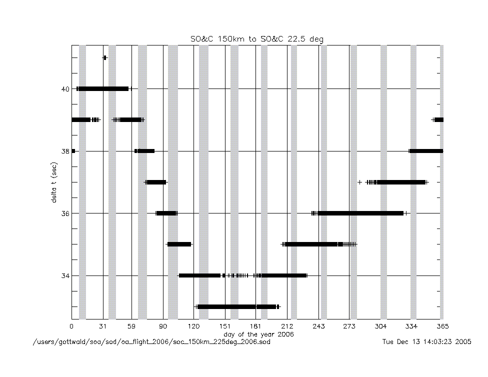
soc_150km_to_225deg_2006.gif
|
soc_end_to_eclipse_start_2006.gif
|
|
angles (deg) |
azimuth_at_soc_start_2006.gif
|
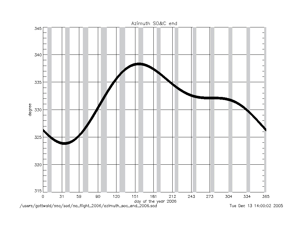
azimuth_at_soc_end_2006.gif
|
angular rates
(deg/sec) |
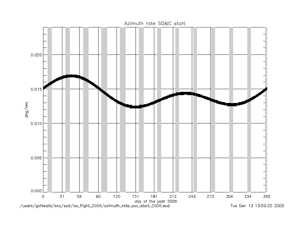
azimuth_rate_at_soc_start_2006.gif
|
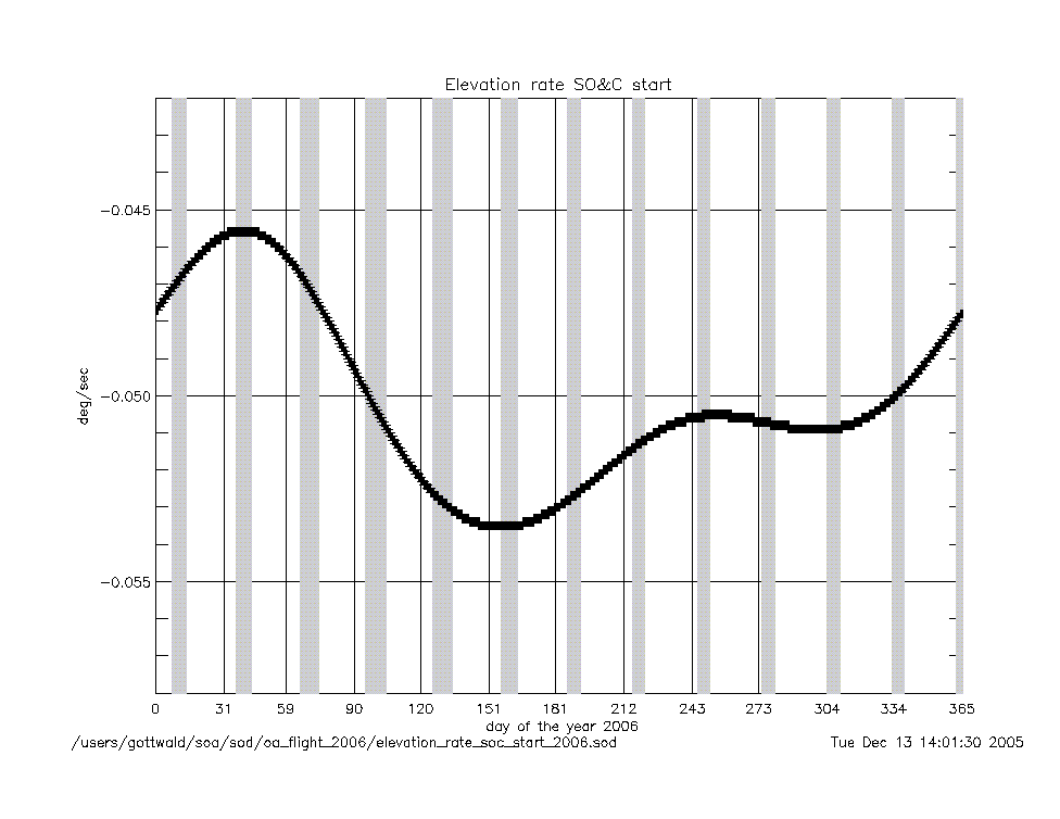
elevation_rate_at_soc_start_2006.gif
|
|
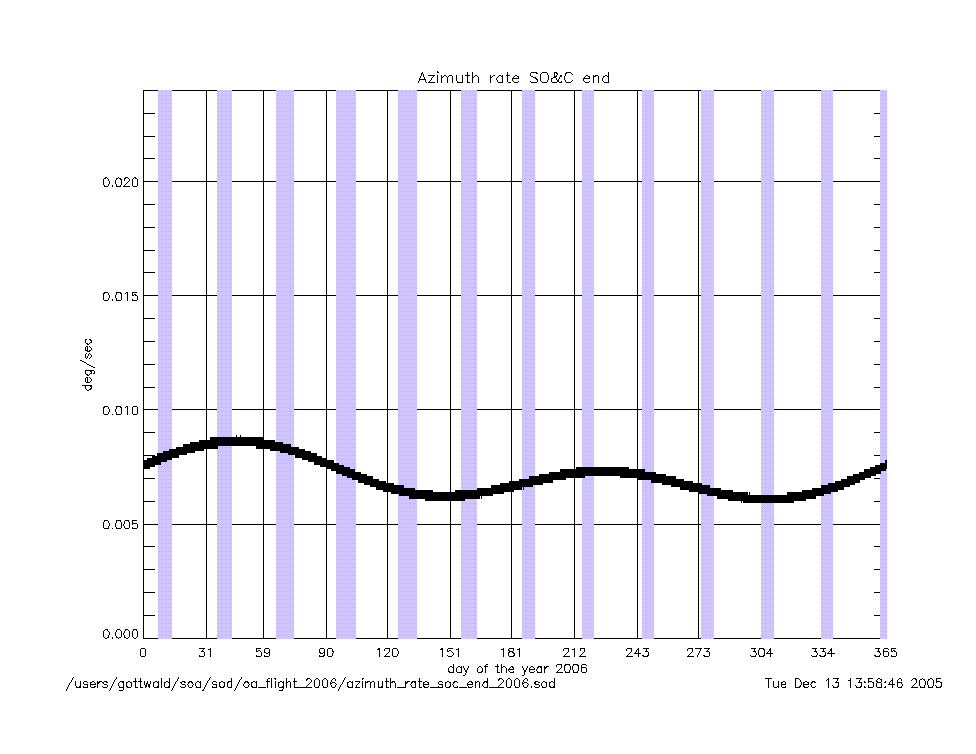
azimuth_rate_at_soc_end_2006.gif
|
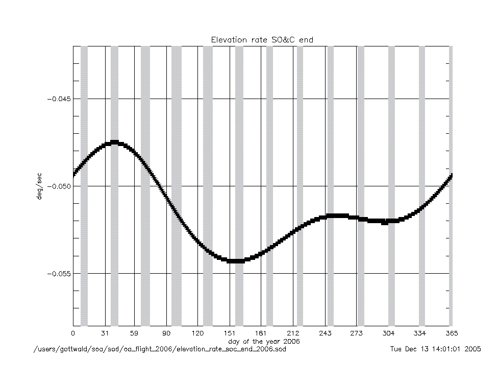
elevation_rate_at_soc_end_2006.gif
|
|
geolocation (deg) |
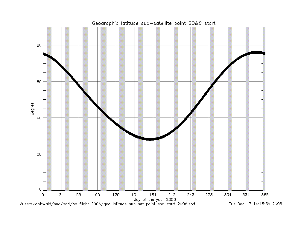
geo_latitude_at_subsatellite_point
_at_soc_start_2006.gif
|
|
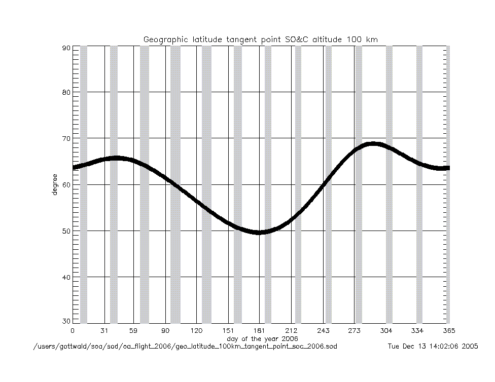
geo_latitude_at_tangent_point
_at_soc_20km_2006.gif
|
geo_latitude_at_tangent_point
_at_soc_100km_2006.gif
|
|
Geolocation (Geographic Coordinates) |
|
Content |
Text (ASCII) |
Graphic (gif) |
geolocation
(coordinates) |
geolocation_at_tangent_point
_at_soc_20km_2006.txt
|
geolocation_soc_20_100_2006.gif
|
geolocation_at_tangent_point
_at_soc_100km_2006.txt
|
|
Year 2005 |
| Parameter
versus Time
|
|
Content |
.gif |
|
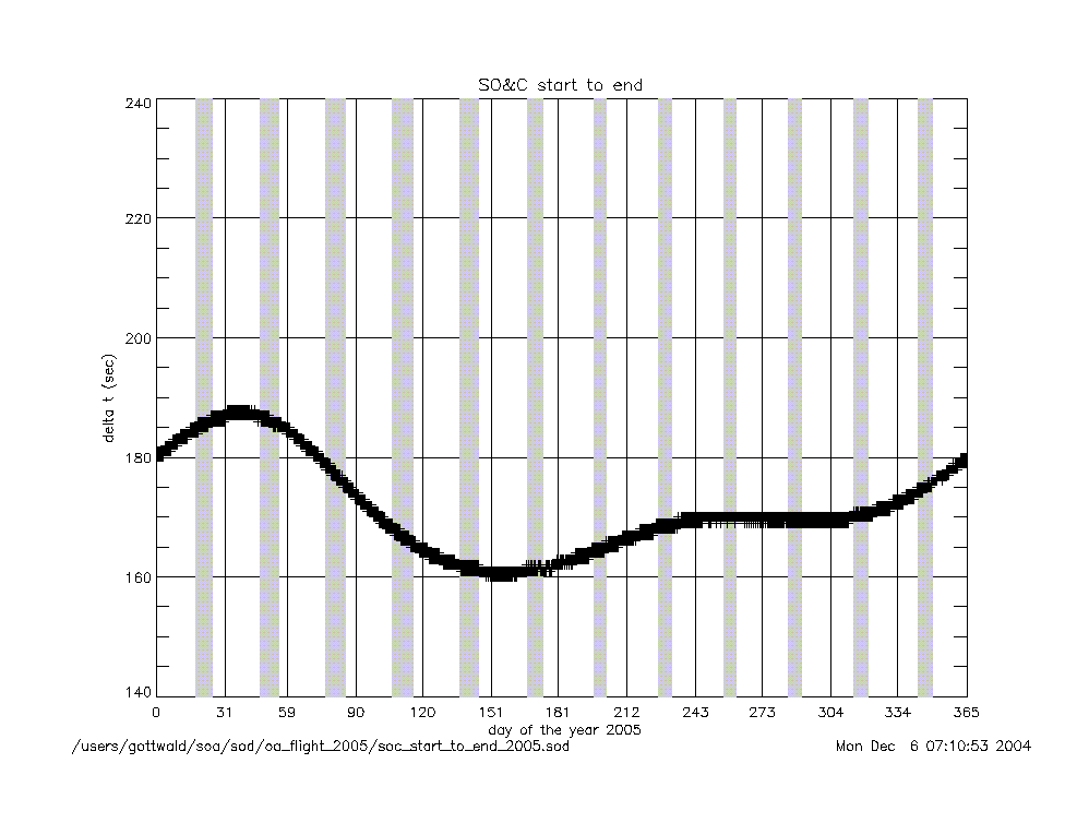
time intervals (sec) |
soc_start_to_end_2005.gif
|
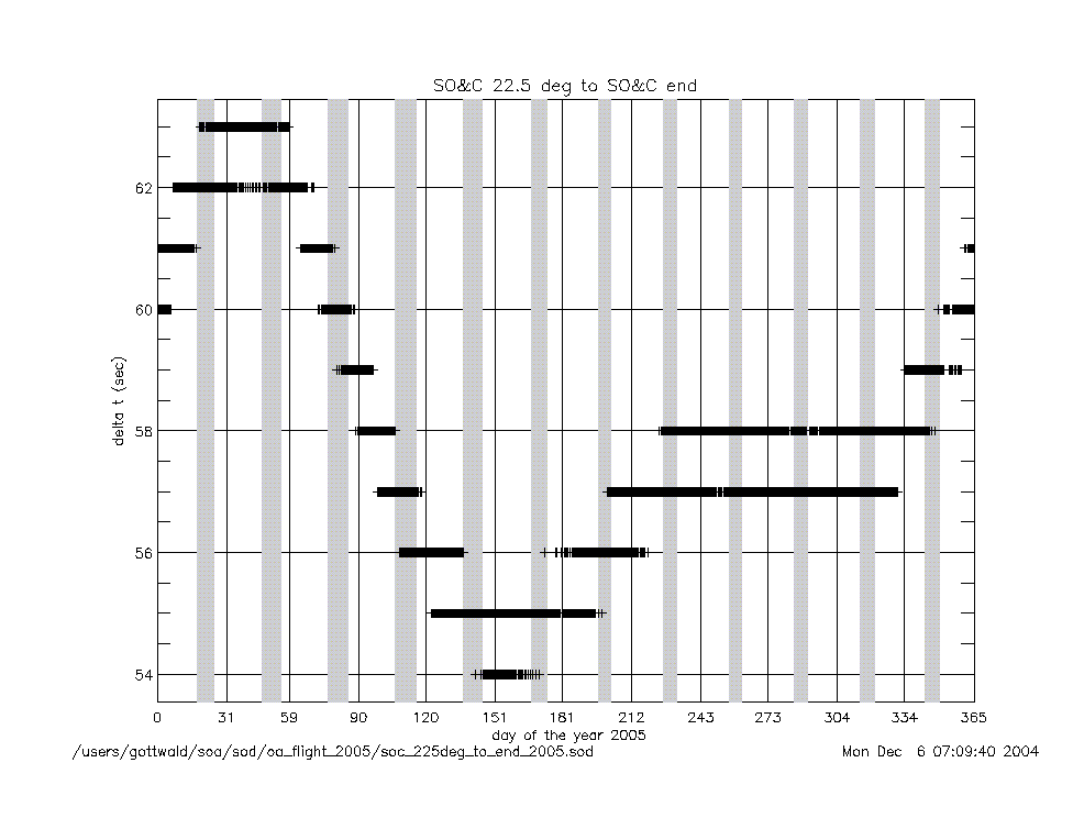
soc_225deg_to_end_2005.gif
|
|
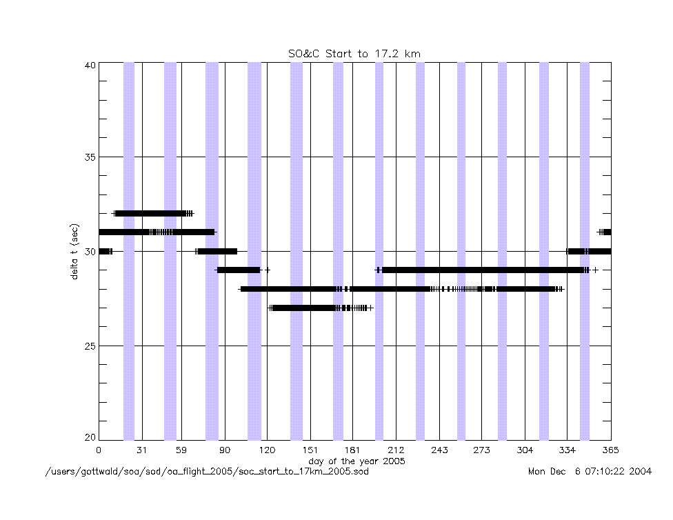
soc_start_to_17km_2005.gif
|
soc_end_to_subsolar_center_2005.gif
|
|
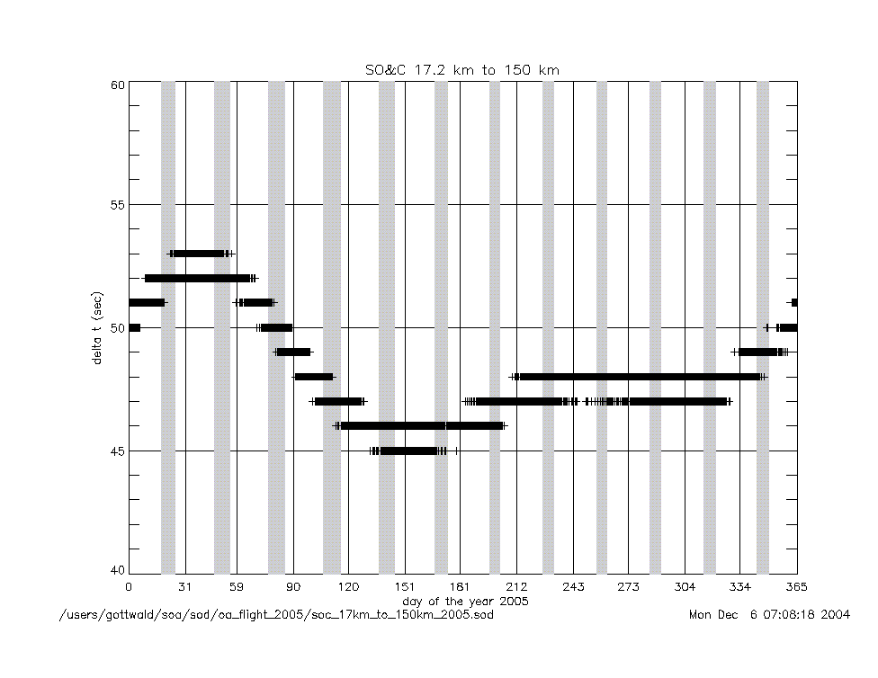
soc_17km_to_150km_2005.gif
|
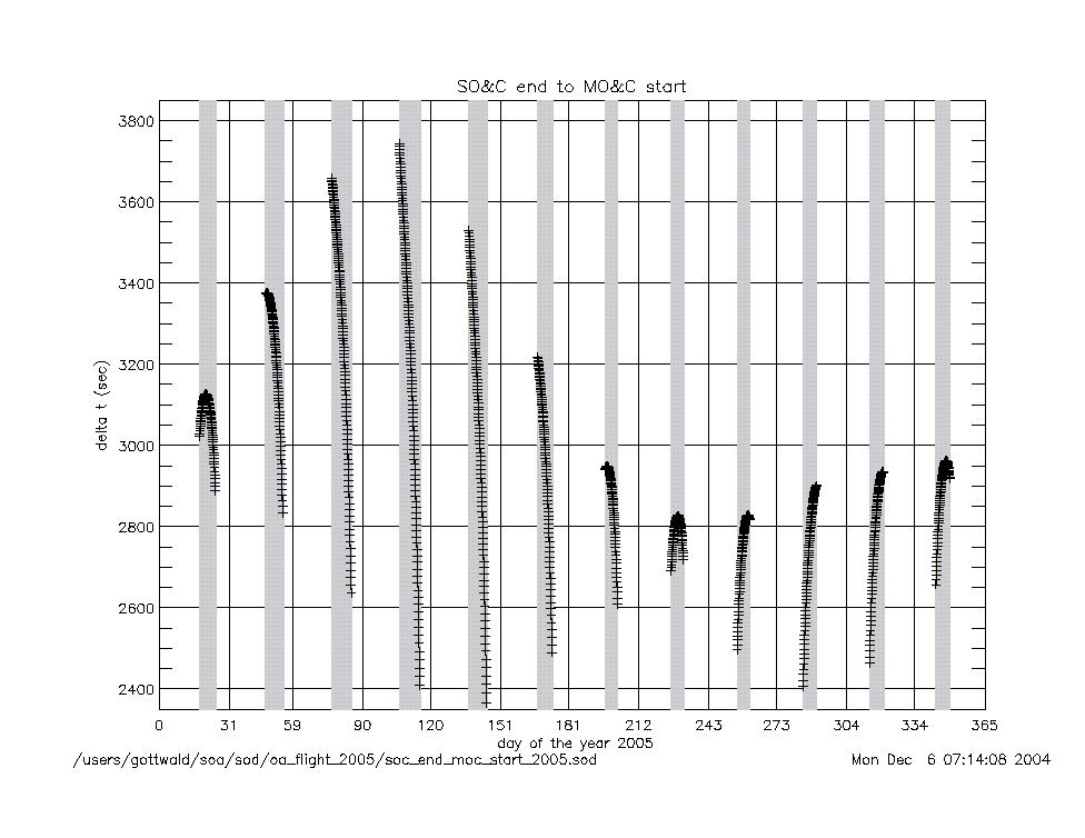
soc_end_to_moc_start_2005.gif
|
|
soc_150km_to_225deg_2005.gif
|
soc_end_to_eclipse_start_2005.gif
|
|
angles (deg) |
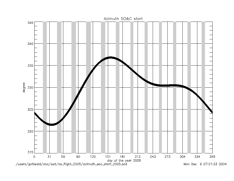
azimuth_at_soc_start_2005.gif
|
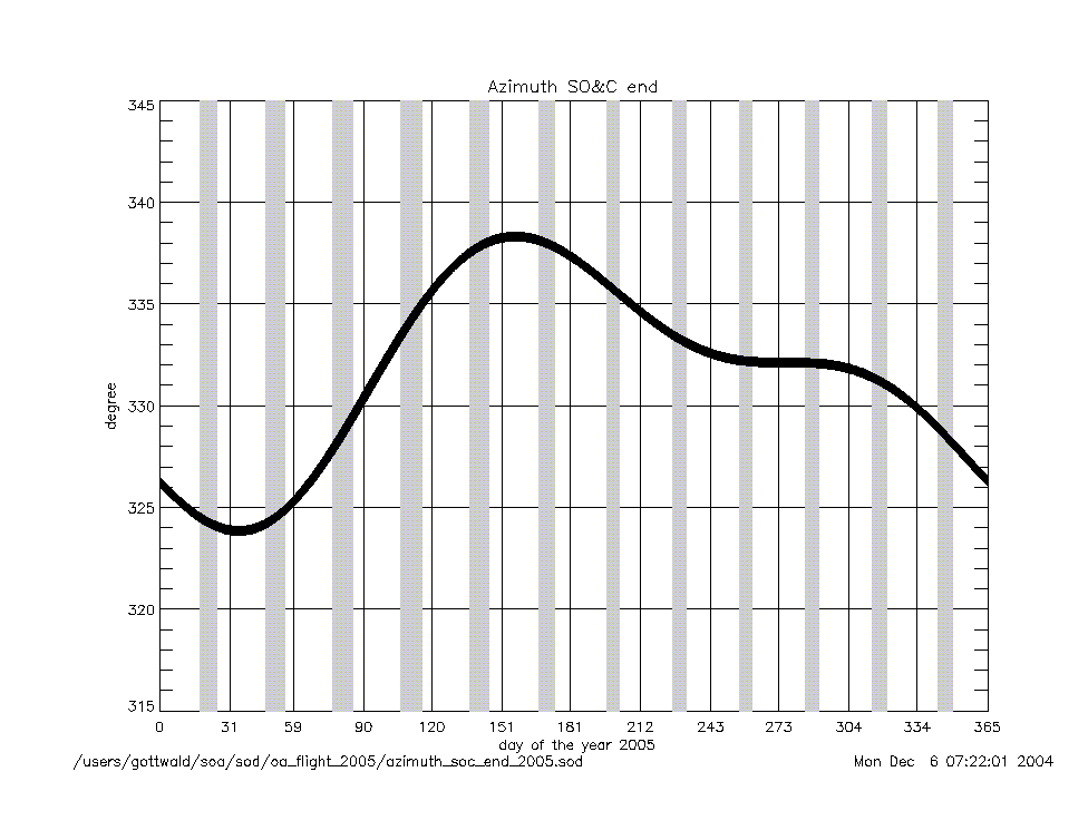
azimuth_at_soc_end_2005.gif
|
angular rates
(deg/sec) |
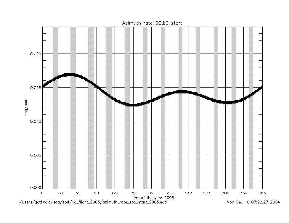
azimuth_rate_at_soc_start_2005.gif
|
elevation_rate_at_soc_start_2005.gif
|
|
azimuth_rate_at_soc_end_2005.gif
|
elevation_rate_at_soc_end_2005.gif
|
|
geolocation (deg) |
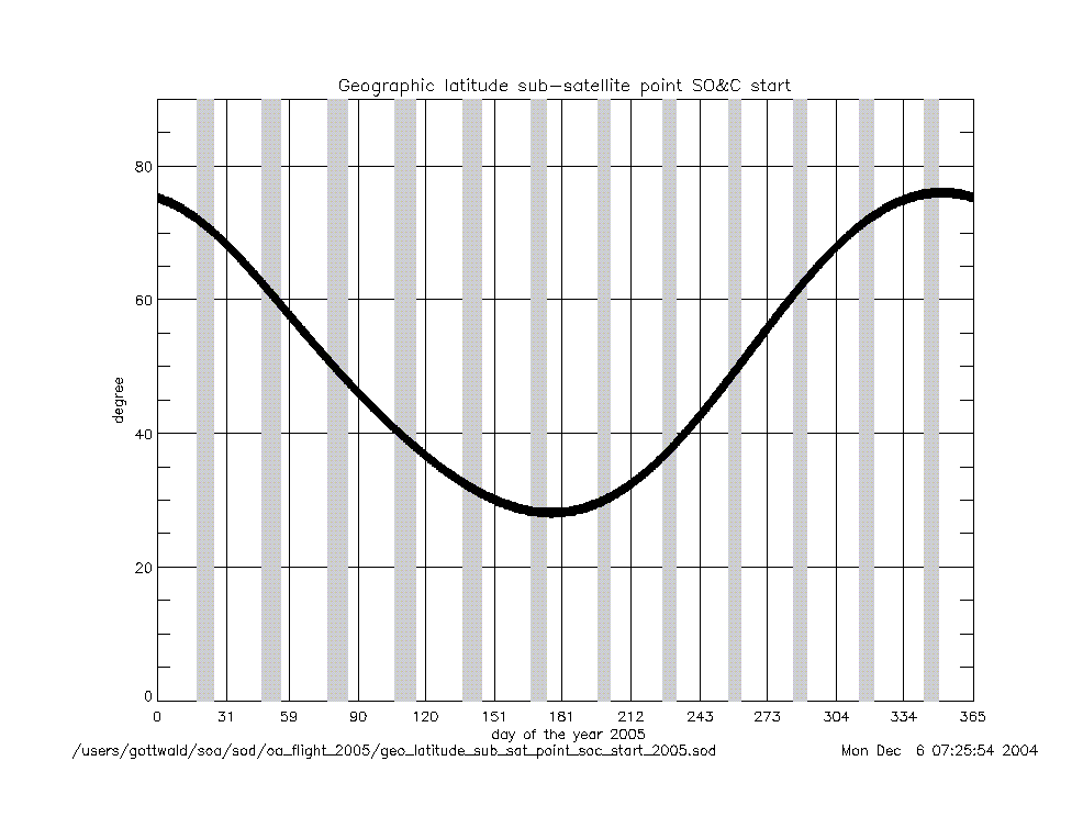
geo_latitude_at_subsatellite_point
_at_soc_start_2005.gif
|
|
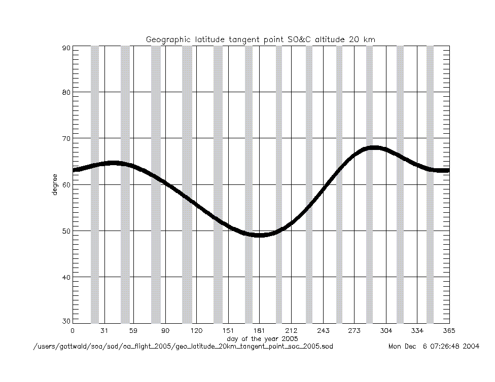
geo_latitude_at_tangent_point
_at_soc_20km_2005.gif
|
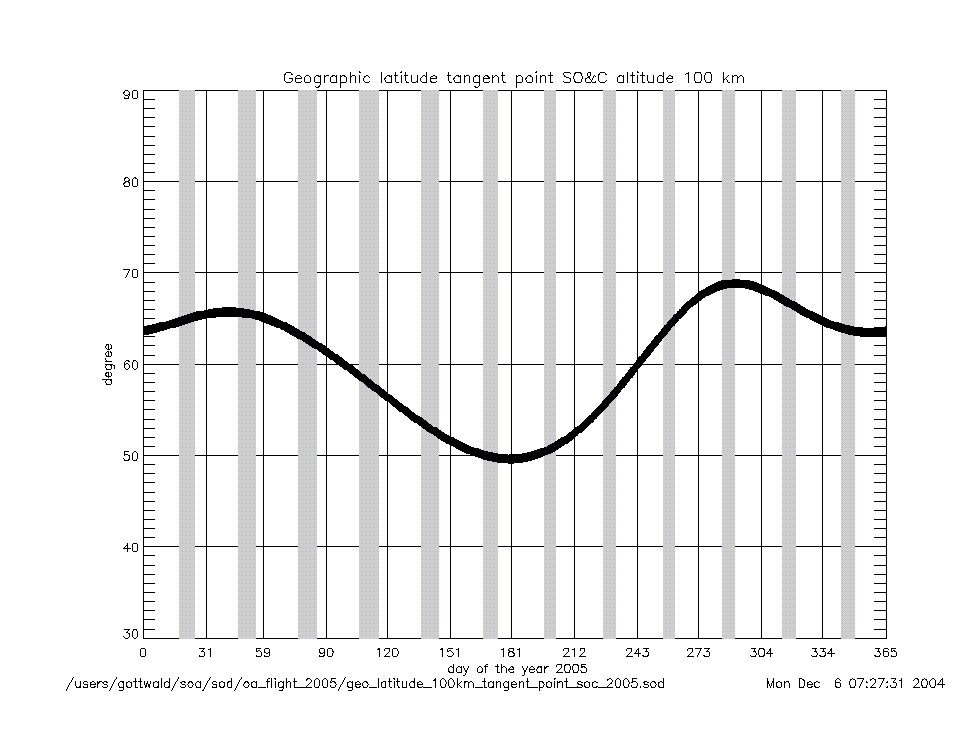
geo_latitude_at_tangent_point
_at_soc_100km_2005.gif
|
|
Geolocation (Geographic Coordinates) |
|
Content |
Text (ASCII) |
Graphic (gif) |
geolocation
(coordinates) |
geolocation_at_tangent_point
_at_soc_20km_2005.txt
|
geolocation_soc_20_100_2005.gif
|
geolocation_at_tangent_point
_at_soc_100km_2005.txt
|
|
Year 2004 |
| Parameter
versus Time
|
|
Content |
.gif |
|
time intervals (sec) |
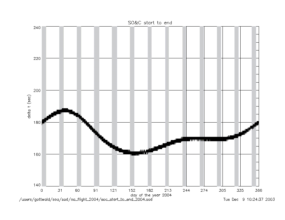
soc_start_to_end_2004.gif
|
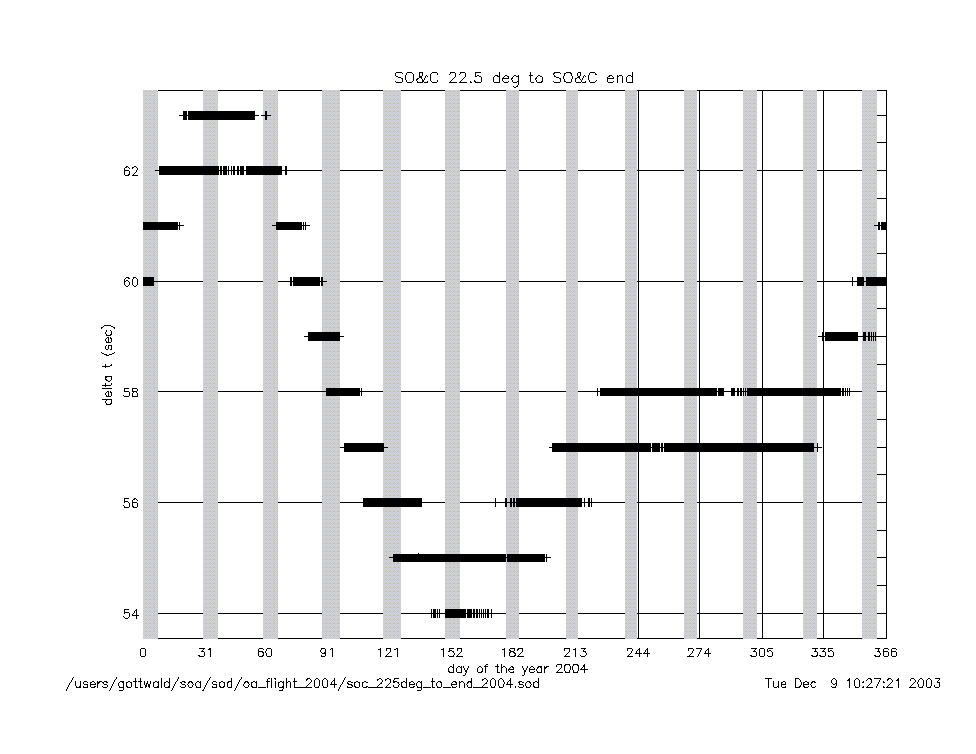
soc_225deg_to_end_2004.gif
|
|
soc_start_to_17km_2004.gif
|
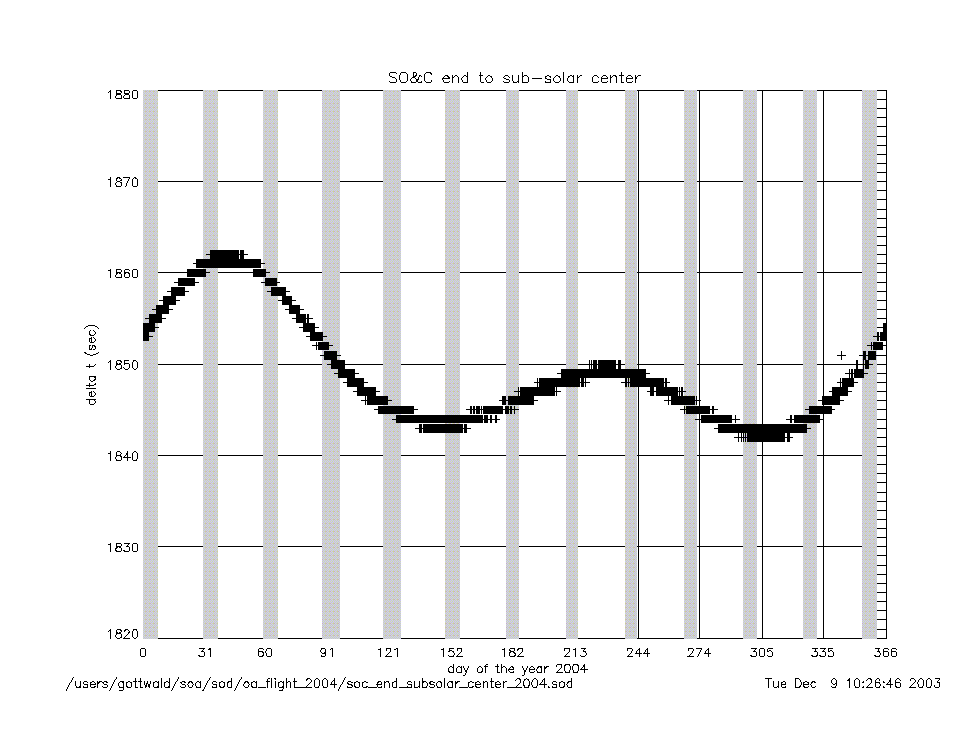
soc_end_to_subsolar_center_2004.gif
|
|
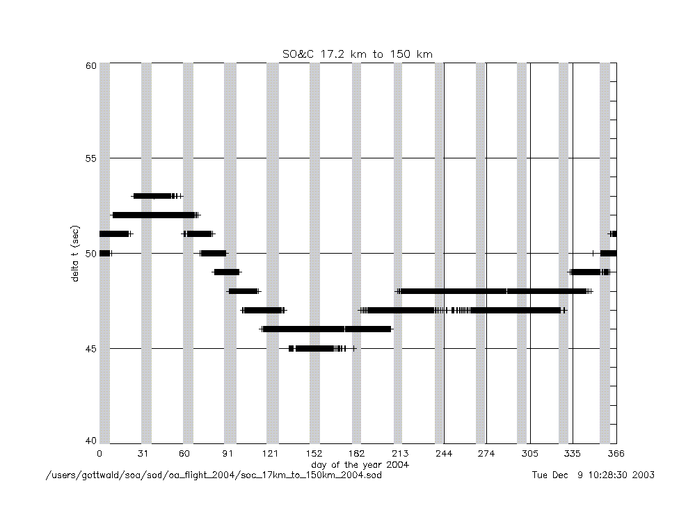
soc_17km_to_150km_2004.gif
|
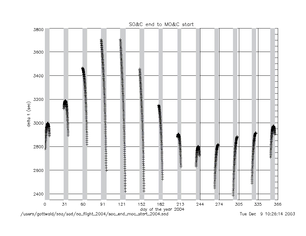
soc_end_to_moc_start_2004.gif
|
|
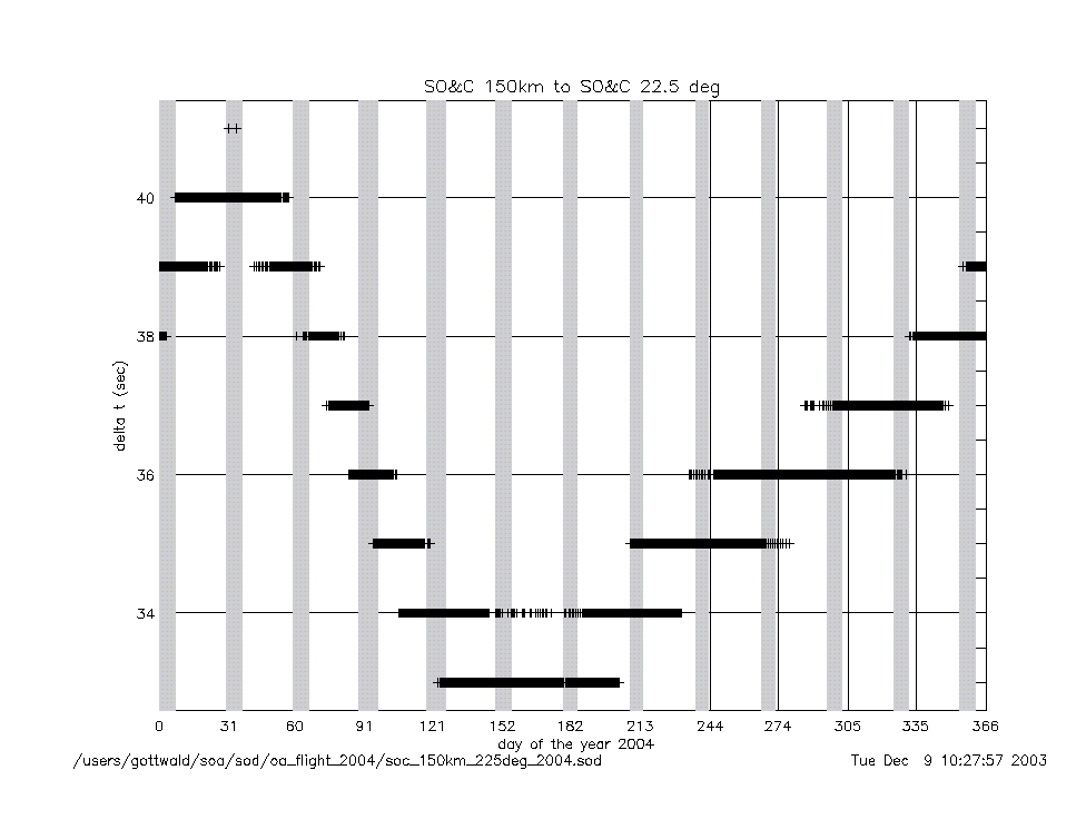
soc_150km_to_225deg_2004.gif
|
soc_end_to_eclipse_start_2004.gif
|
|
angles (deg) |
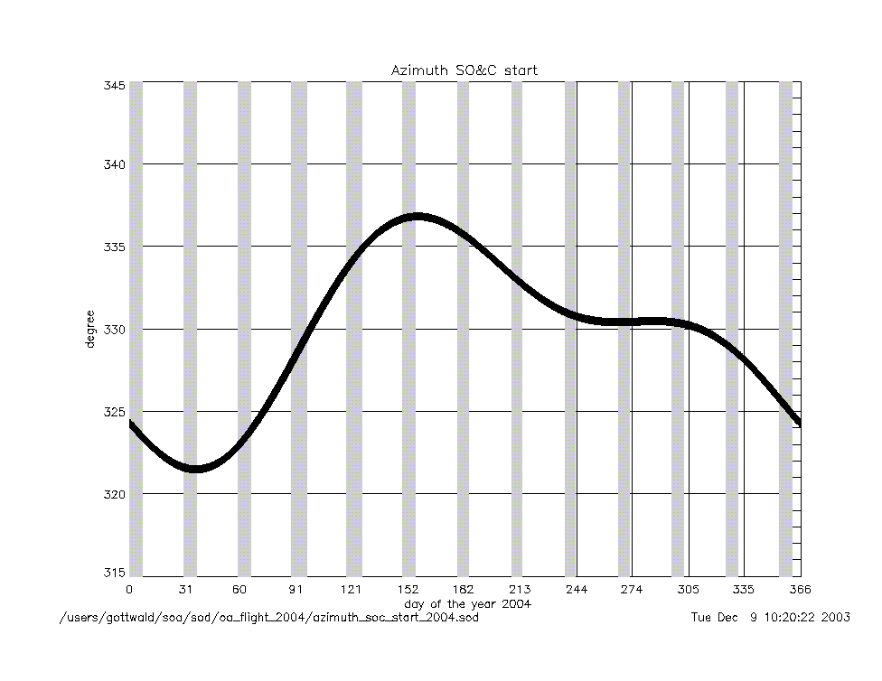
azimuth_at_soc_start_2004.gif
|
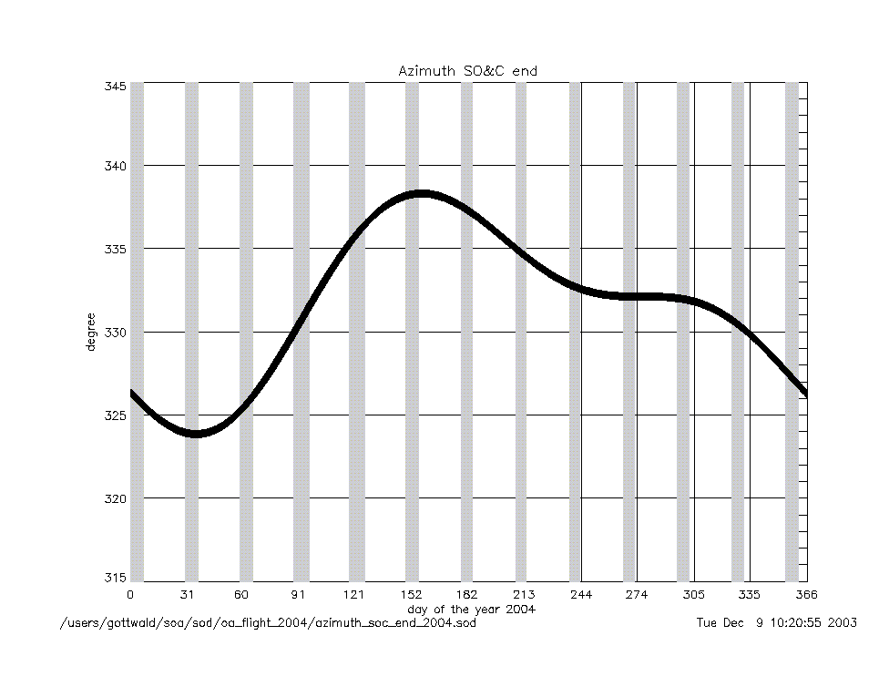
azimuth_at_soc_end_2004.gif
|
angular rates
(deg/sec) |
azimuth_rate_at_soc_start_2004.gif
|
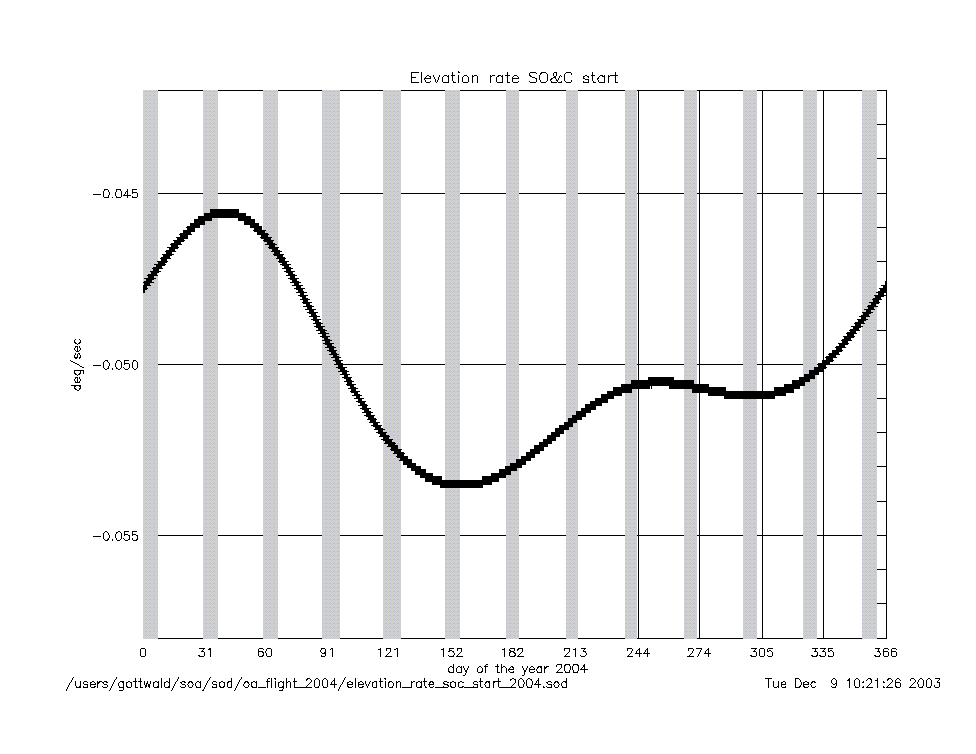
elevation_rate_at_soc_start_2004.gif
|
|
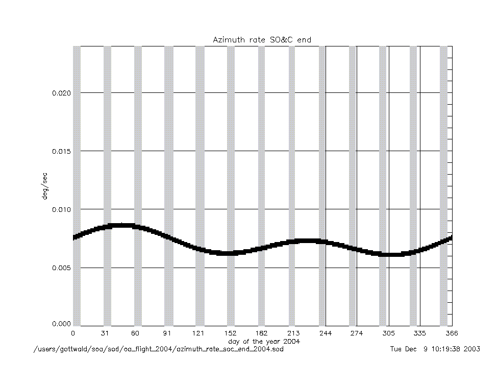
azimuth_rate_at_soc_end_2004.gif
|
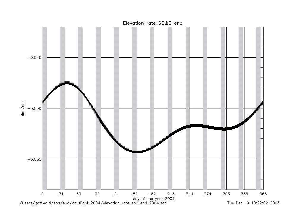
elevation_rate_at_soc_end_2004.gif
|
|
geolocation (deg) |
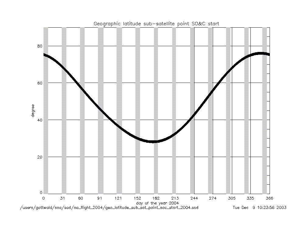
geo_latitude_at_subsatellite_point
_at_soc_start_2004.gif
|
|
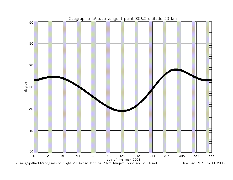
geo_latitude_at_tangent_point
_at_soc_20km_2004.gif
|
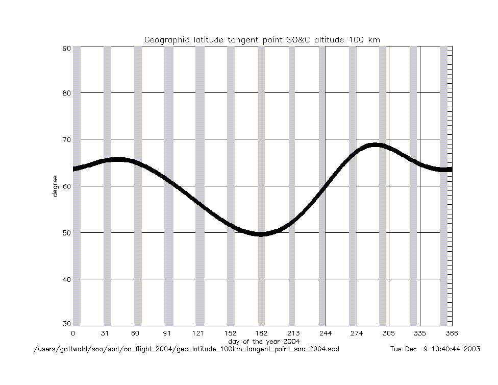
geo_latitude_at_tangent_point
_at_soc_100km_2004.gif
|
|
Geolocation (Geographic Coordinates) |
|
Content |
Text (ASCII) |
Graphic (gif) |
geolocation
(coordinates) |
geolocation_at_tangent_point
_at_soc_20km_2004.txt
|
geolocation_soc_20_100_2004.gif
|
geolocation_at_tangent_point
_at_soc_100km_2004.txt
|
|
Year 2003 |
| Parameter
versus Time
|
|
Content |
.gif |
|
time intervals (sec) |
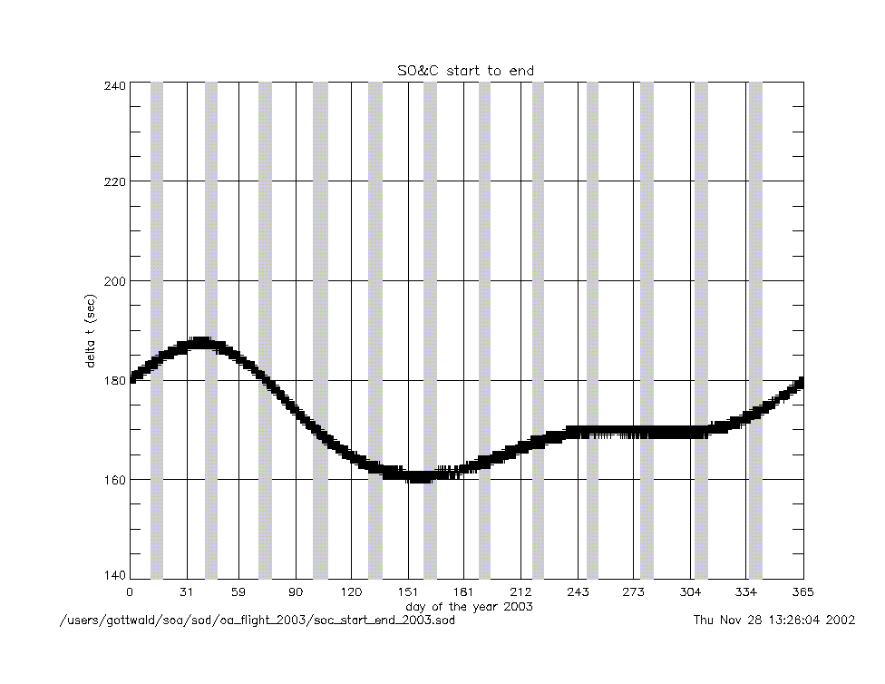
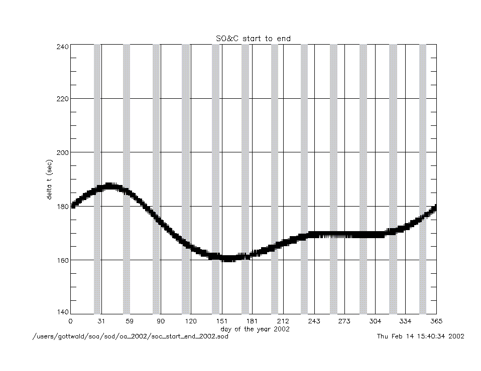
soc_start_to_end_2003.gif
|
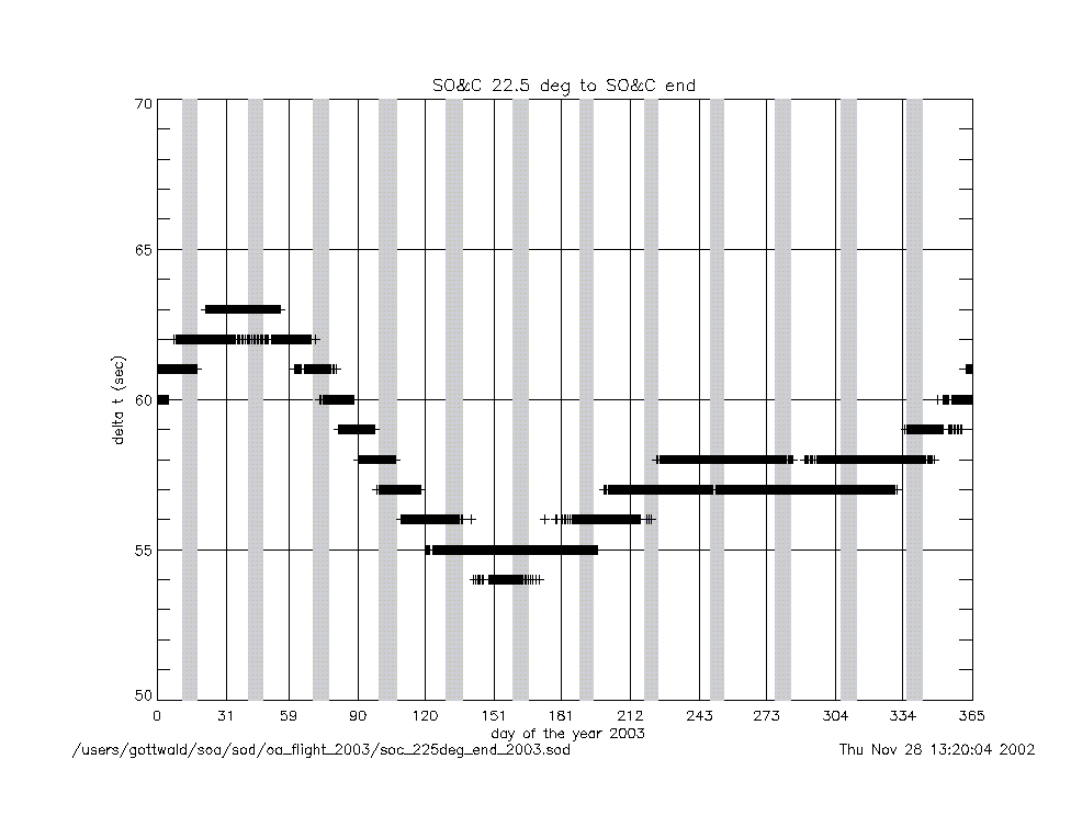
soc_225deg_to_end_2003.gif
|
|
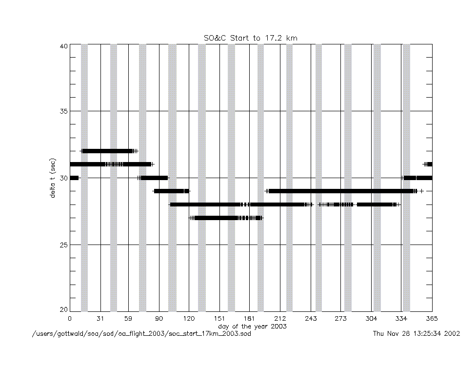
soc_start_to_17km_2003.gif
|
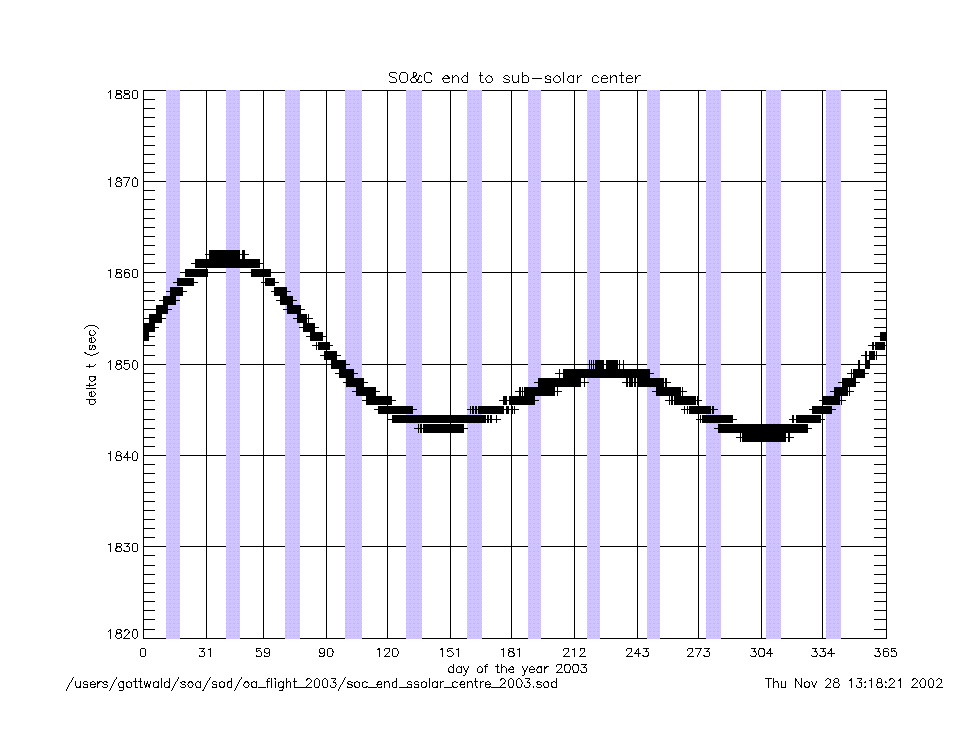
soc_end_to_subsolar_center_2003.gif
|
|
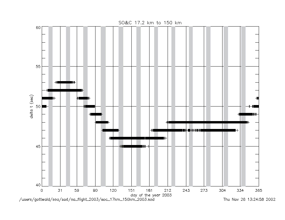
soc_17km_to_150km_2003.gif
|
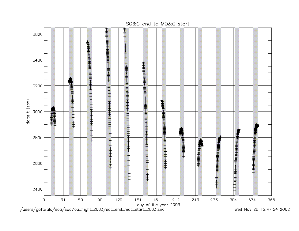
soc_end_to_moc_start_2003.gif
|
|
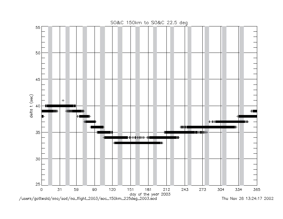
soc_150km_to_225deg_2003.gif
|
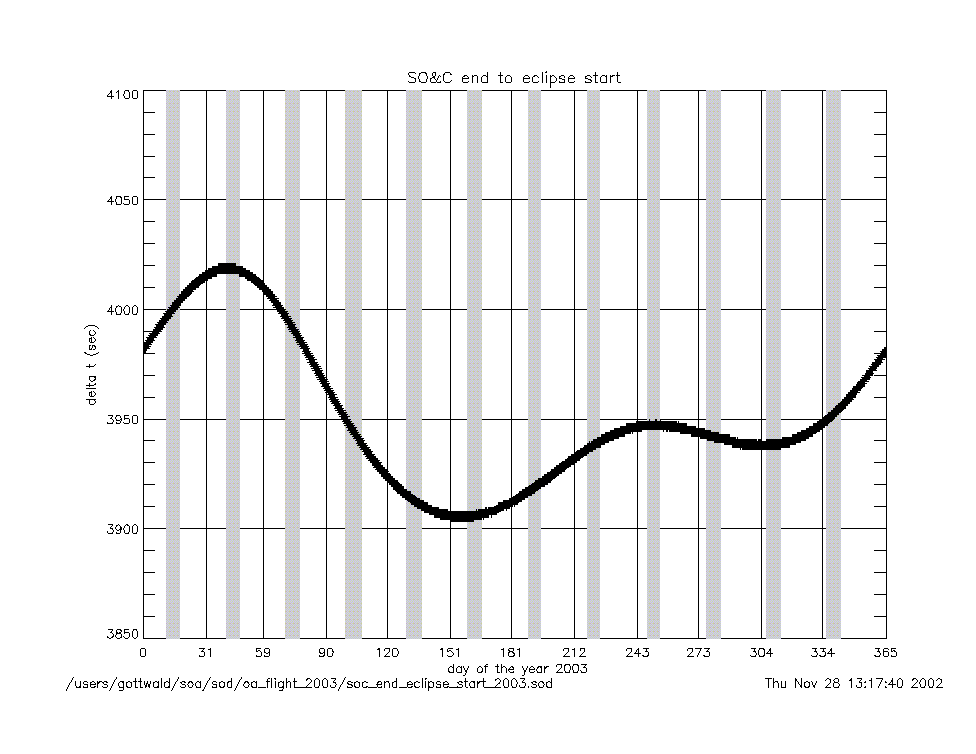
soc_end_to_eclipse_start_2003.gif
|
|
angles (deg) |
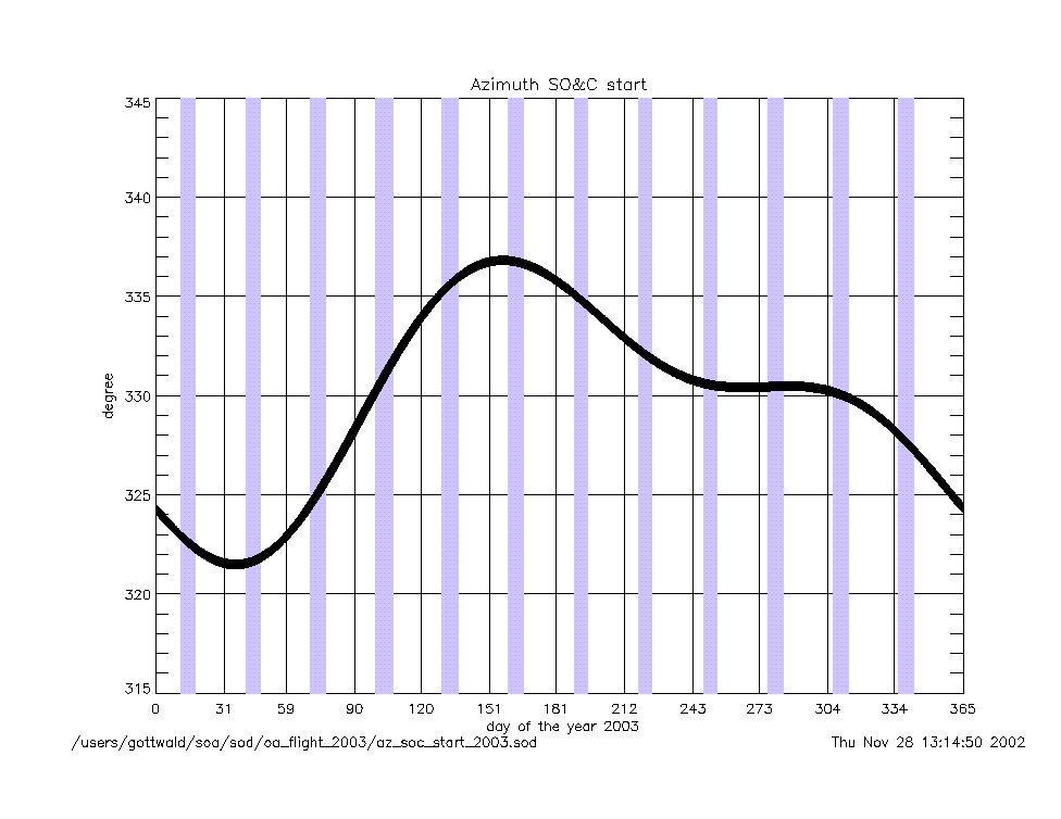
azimuth_at_soc_start_2003.gif
|
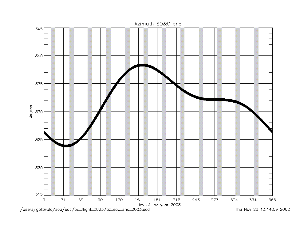
azimuth_at_soc_end_2003.gif
|
angular rates
(deg/sec) |
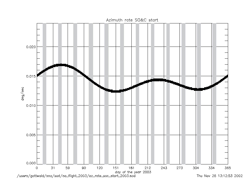
azimuth_rate_at_soc_start_2003.gif
|
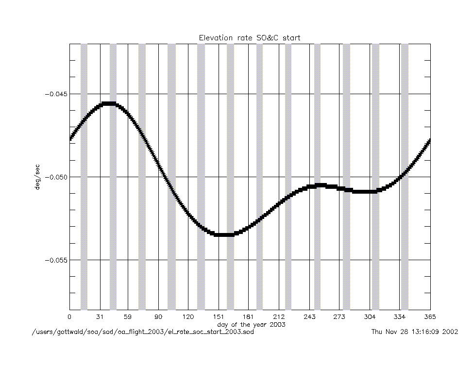
elevation_rate_at_soc_start_2003.gif
|
|
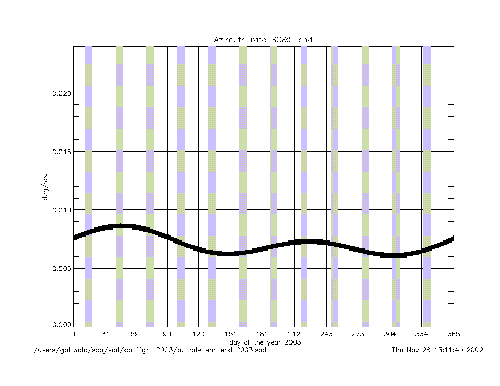
azimuth_rate_at_soc_end_2003.gif
|
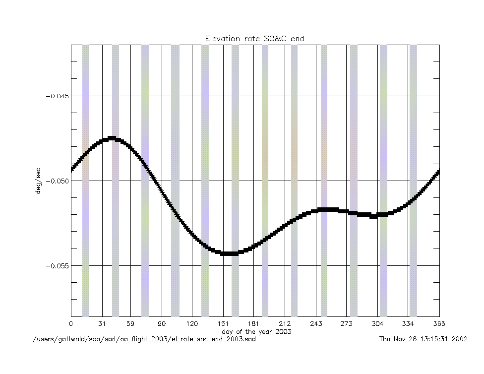
elevation_rate_at_soc_end_2003.gif
|
|
geolocation (deg) |
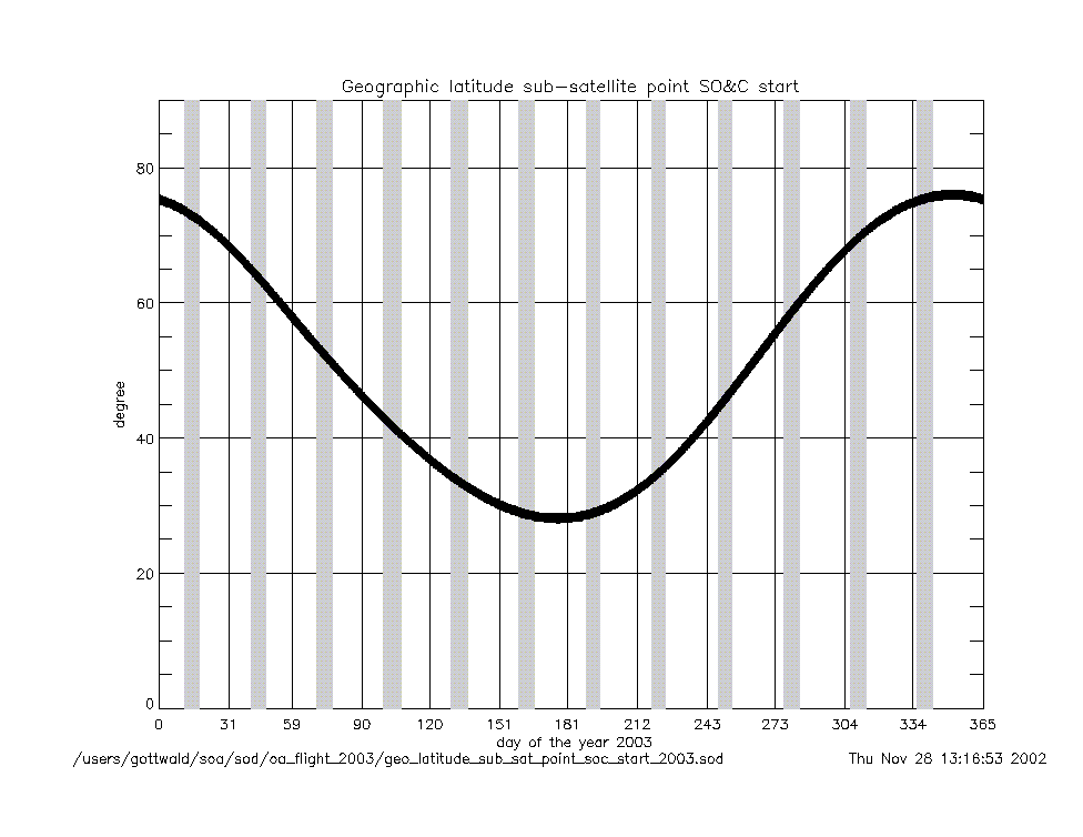
geo_latitude_at_subsatellite_point
_at_soc_start_2003.gif
|
|
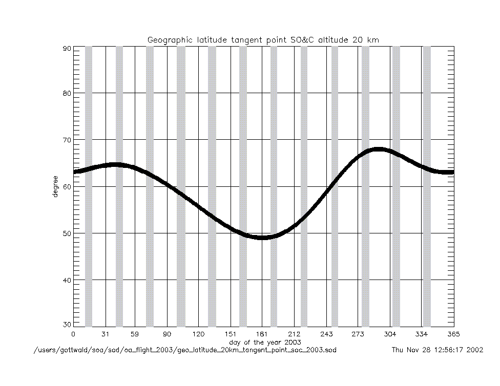
geo_latitude_at_tangent_point
_at_soc_20km_2003.gif
|
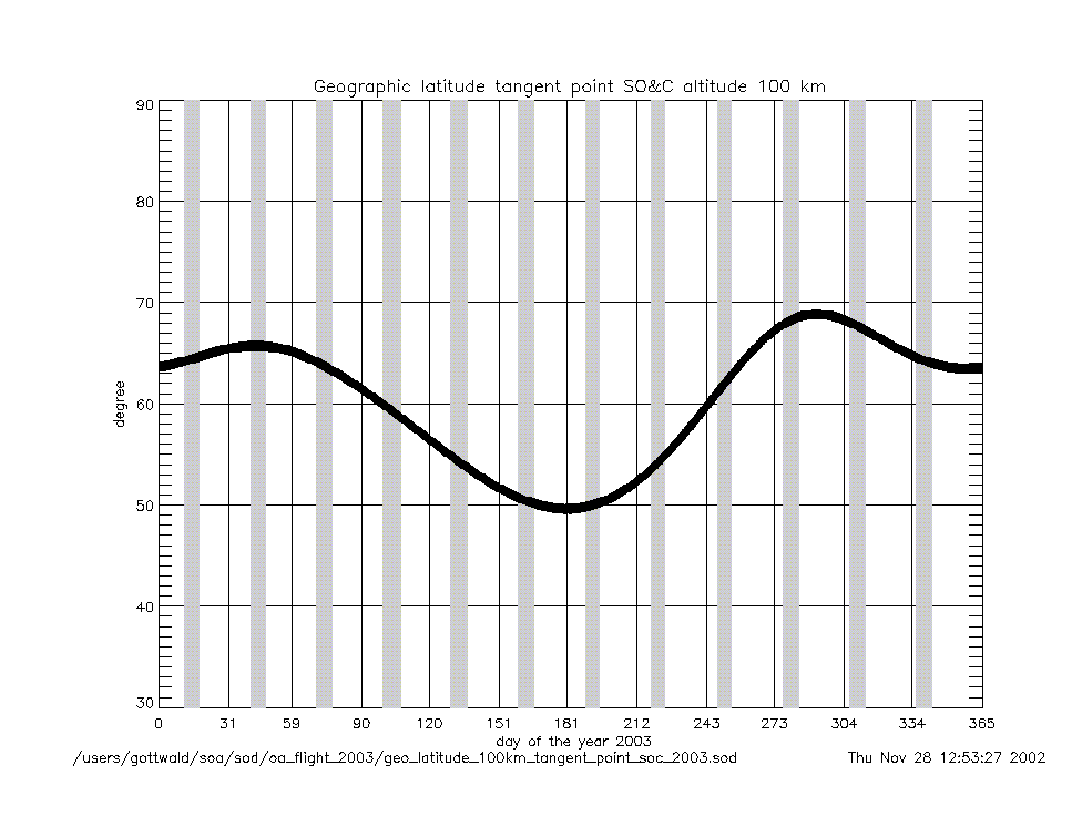
geo_latitude_at_tangent_point
_at_soc_100km_2003.gif
|
|
Geolocation (Geographic Coordinates) |
|
Content |
Text (ASCII) |
Graphic (gif) |
geolocation
(coordinates) |
geolocation_at_tangent_point
_at_soc_20km_2003.txt
|
geolocation_soc_20_100_2003.gif
|
geolocation_at_tangent_point
_at_soc_100km_2003.txt
|
|
Year 2002 |
| Parameter
versus Time
|
|
Content |
.gif |
|
time intervals (sec) |
soc_start_to_end_2002.gif
|
soc_225deg_to_end_2002.gif
|
|
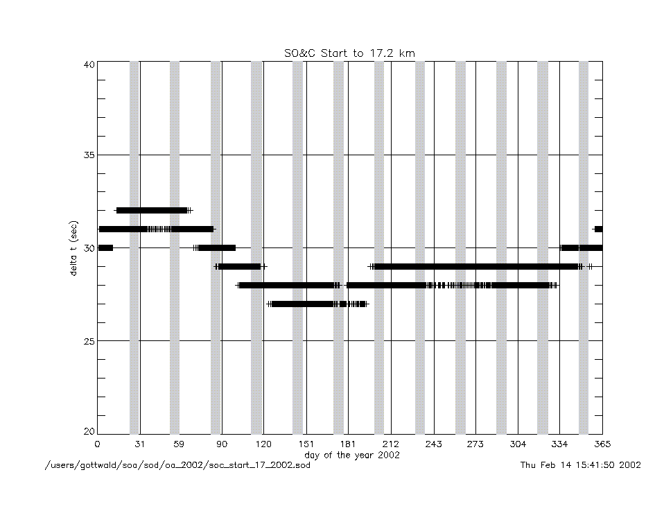
soc_start_to_17km_2002.gif
|
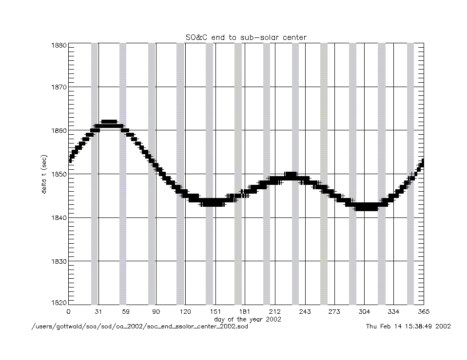
soc_end_to_subsolar_center_2002.gif
|
|
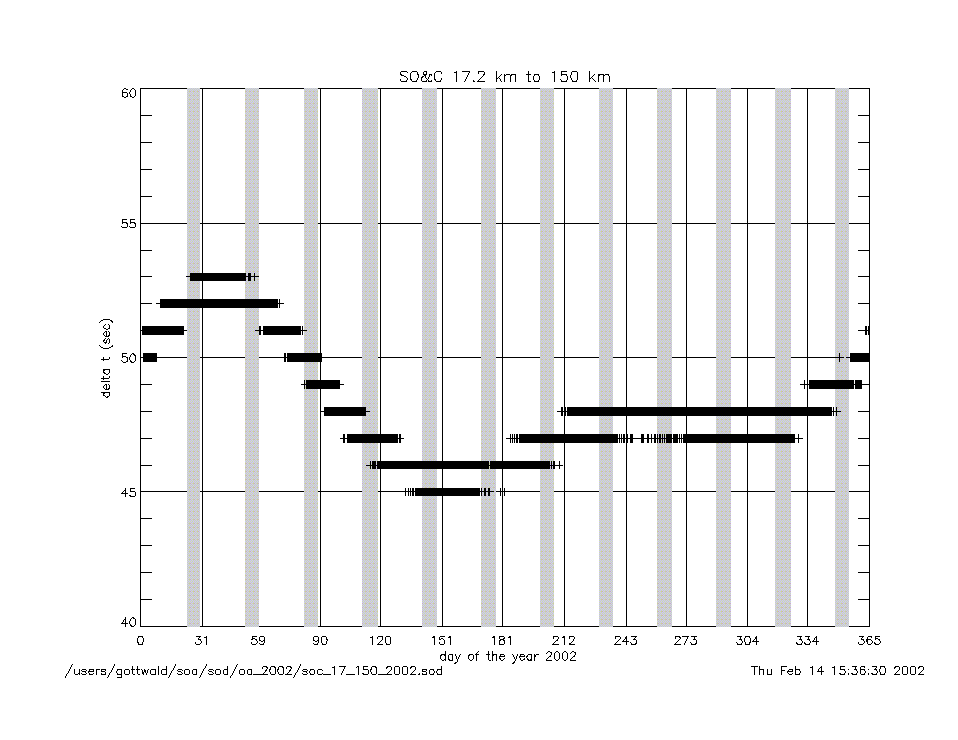
soc_17km_to_150km_2002.gif
|
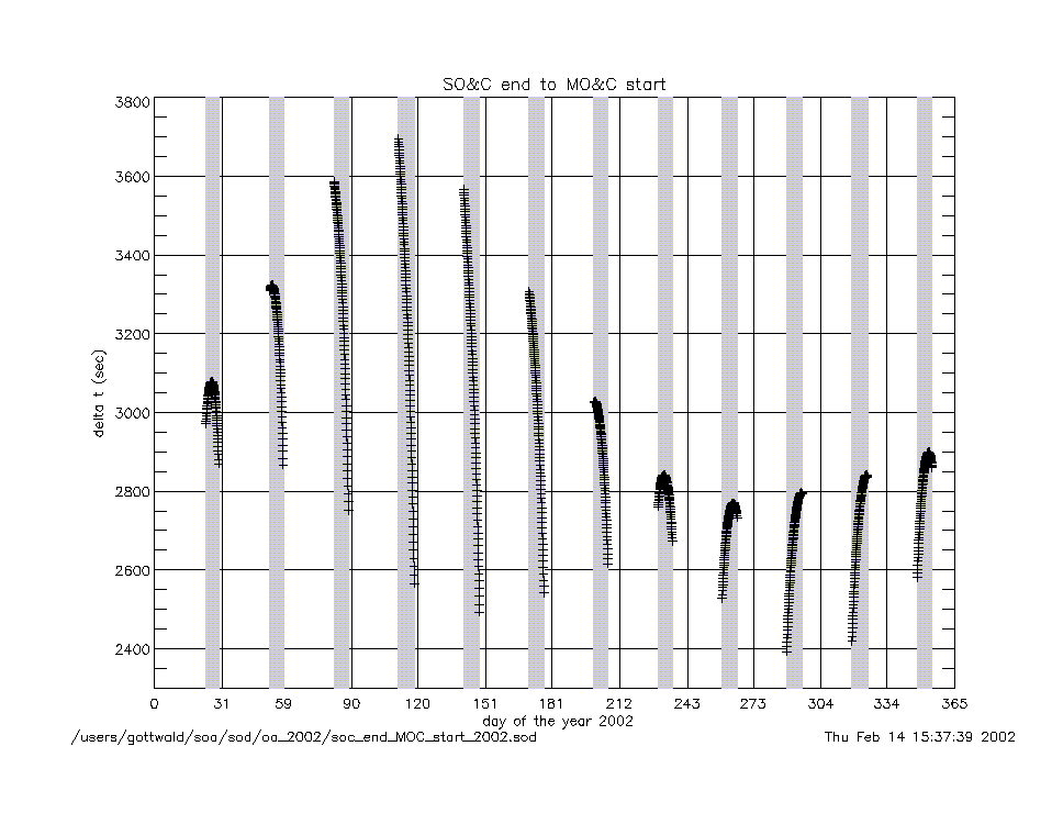
soc_end_to_moc_start_2002.gif
|
|
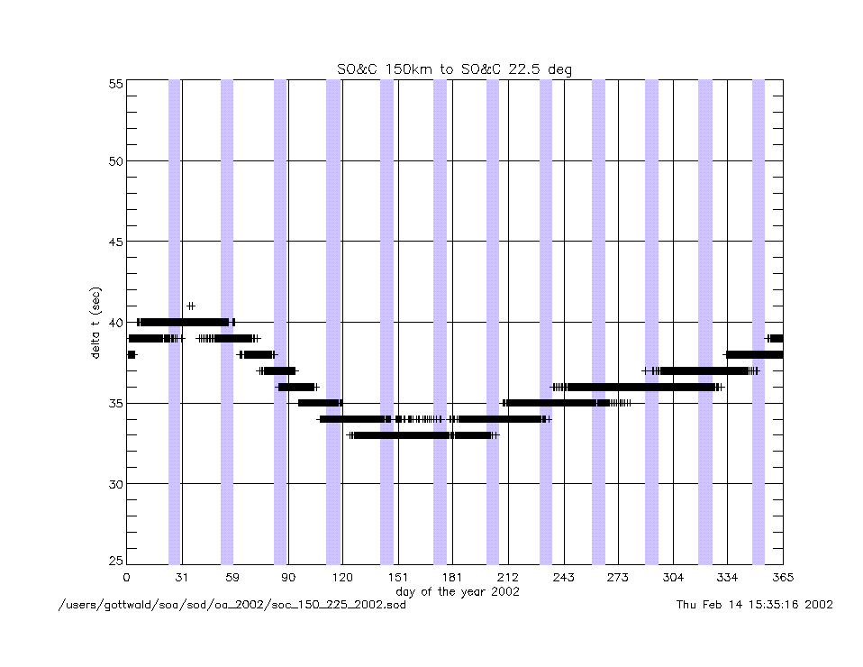
soc_150km_to_225deg_2002.gif
|
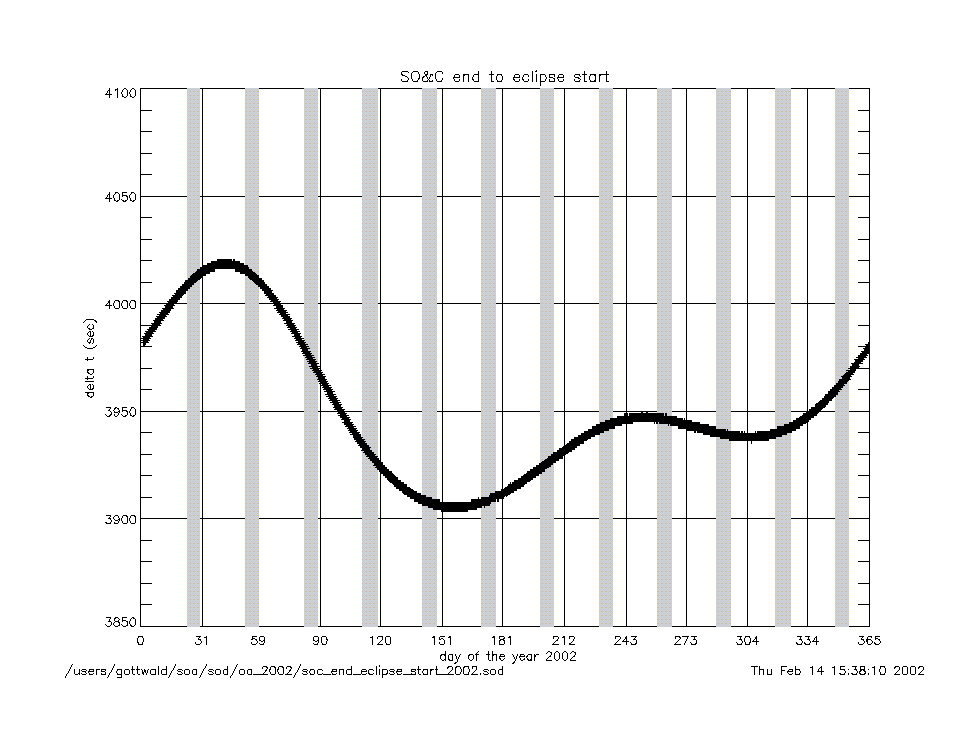
soc_end_to_eclipse_start_2002.gif
|
|
angles (deg) |
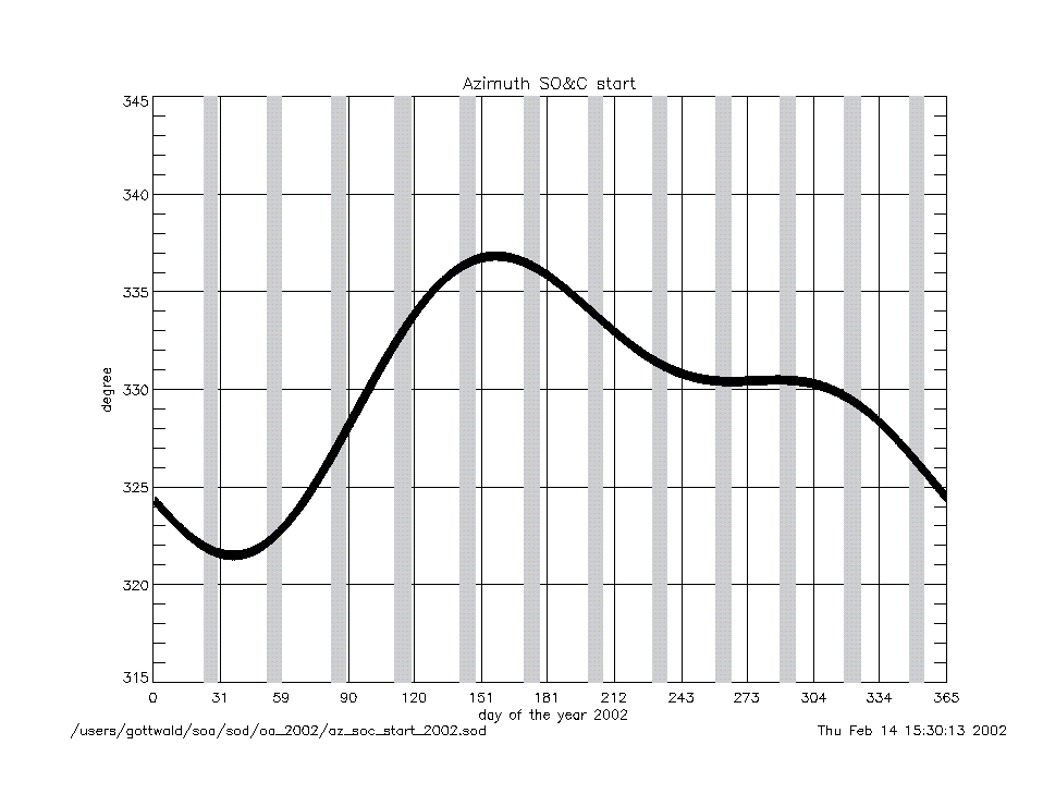
azimuth_at_soc_start_2002.gif
|
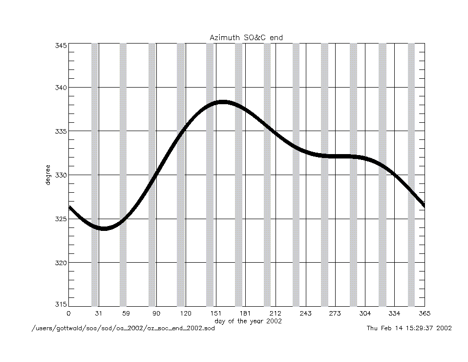
azimuth_at_soc_end_2002.gif
|
angular rates
(deg/sec) |
azimuth_rate_at_soc_start_2002.gif
|
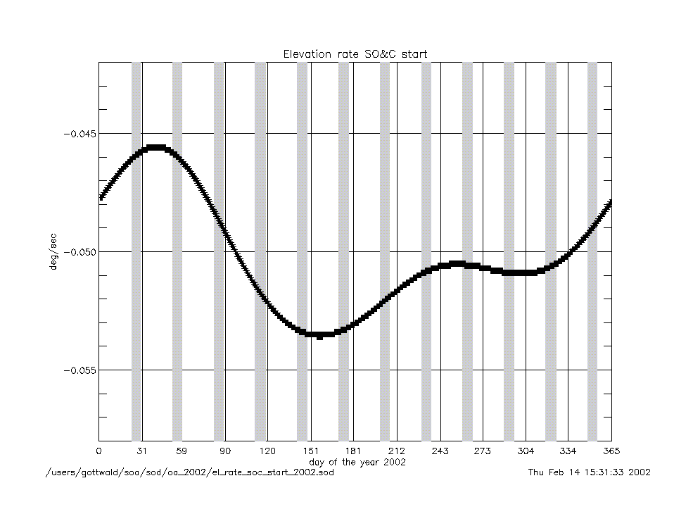
elevation_rate_at_soc_start_2002.gif
|
|
azimuth_rate_at_soc_end_2002.gif
|
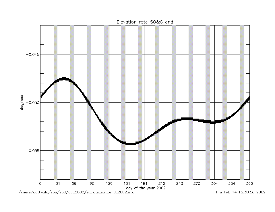
elevation_rate_at_soc_end_2002.gif
|
|
geolocation (deg) |
geo_latitude_at_subsatellite_point
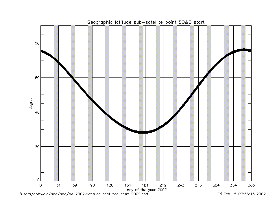
_at_soc_start_2002.gif
|
|
geo_latitude_at_tangent_point
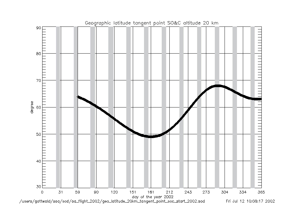
_at_soc_20km_2002.gif
|
geo_latitude_at_tangent_point
_at_soc_100km_2002.gif
|
|
Geolocation (Geographic Coordinates) |
|
Content |
Text (ASCII) |
Graphic (gif) |
geolocation
(coordinates) |
geolocation_at_tangent_point
_at_soc_20km_2002.txt
|
geolocation_soc_20_100_2002.gif
|
geolocation_at_tangent_point
_at_soc_100km_2002.txt
|